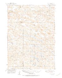
1951 Map of Moon Lake
USGS Topo · Published 1951About this map
The Calamus River meanders through this portion of the Nebraska Sandhills, a landscape defined by an intricate network of marshes and basins. The 1951 survey reveals a region of large-scale cattle ranching, where family-named properties like the McDaniel Ranch and Oatman Ranch occupy the low valleys. A reliance on local education is evident in the distribution of one-room schoolhouses such as School No 112 and the South Wrage Sch, which served remote homesteading families.
Find a feature on this map
53 named features on this map. Tap any name to fly to it.
Don’t see what you’re looking for? This feature index may not catch every label — zoom into the map to look around manually.
Map Details
Editions of this 1951 Moon Lake Map
2 editions found
Other maps of this area

1949 · Purdum
USGS Topo · 1:62,500

1949 · Koshopah
USGS Topo · 1:62,500

1949 · Long Lake
USGS Topo · 1:62,500

1950 · Wood Lake
USGS Topo · 1:62,500

1950 · Arabia
USGS Topo · 1:62,500

1951 · Long Lake
USGS Topo · 1:62,500

1951 · Purdum
USGS Topo · 1:62,500

1951 · Moon Lake
USGS Topo · 1:62,500

1951 · Koshopah
USGS Topo · 1:62,500

1954 · Ainsworth SW
USGS Topo · 1:24,000