Loading...
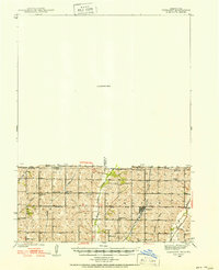
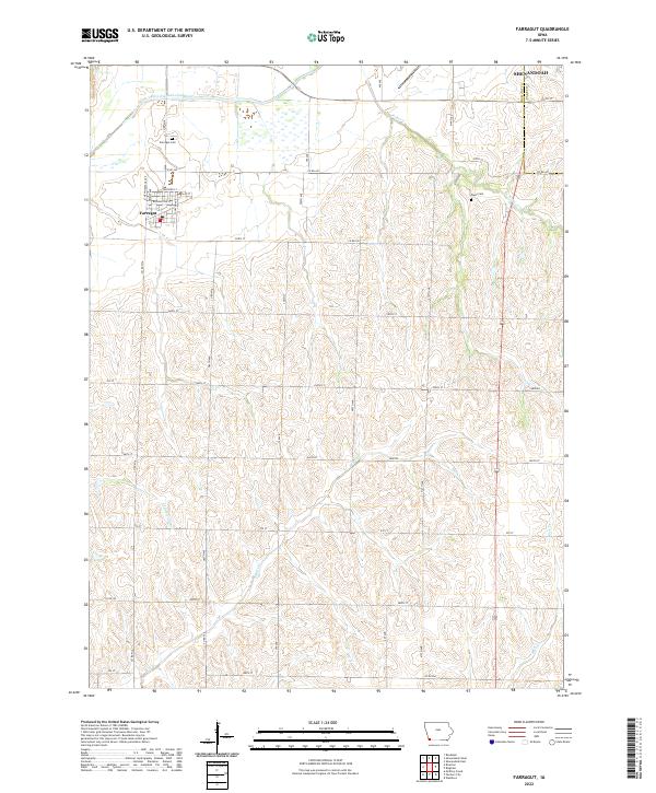
Loading map...1939 Map of Farragut
USGS Topo · Published 1939About this map
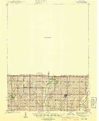
Agricultural life along the Iowa and Missouri border is documented in this survey by C. A. Killian and T. A. Magee. The landscape is defined by the drainage systems of the Tarkio River, West Tarkio Creek, and Middle Tarkio Creek, which carve through the townships of Polk and Lincoln. A dense network of rural infrastructure supports the farming community, including several local education centers like North Polk Sch and South Dale Sch.
Find a feature on this map
23 named features on this map. Tap any name to fly to it.
Don’t see what you’re looking for? This feature index may not catch every label — zoom into the map to look around manually.
Map Details
Date Portrayed1939
Date Published1939
PublisherU.S. Geological Survey
Map TypeTopographic
Scale1:62,500
Physical Dimensions16.9 x 20.8 inches
Editions of this 1939 Farragut Map
This is the sole edition of this map. No revisions or reprints were ever made.
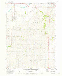
Historical Maps of Shenandoah Through Time
8 maps found
Featured Locations
Source Details
SourceU.S. Geological Survey
CopyrightPublic Domain