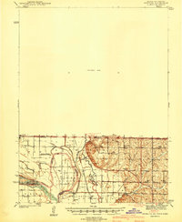
1941 Map of Hamburg
USGS Topo · Published 1941About this map
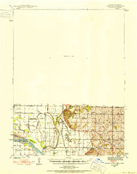
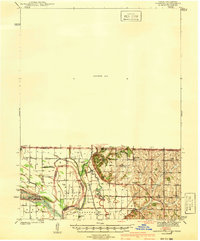
The complex riverine geography of the Iowa-Missouri border is on display in this 1939 survey, where the shifting courses of the Nishnabotna River and Missouri River define the local landscape. Central to the sheet is Mc Kissock Island, a large landmass created by the river's meandering, surrounded by remnants like Lewis Slough and Holly Slough. This region reflects a dense network of early 20th-century rural education and community life, evidenced by a high concentration of one-room schoolhouses such as Island Sch, Tiny Sch, and Mayflower Sch. The Chicago Burlington and Quincy railroad tracks run through the river valley, serving the agricultural townships of Peru, Nishnabotna, and Polk. Local landmarks like Cox Chapel and the Stoner Cem offer specific points of interest for those researching family history in the bottomlands of the Missouri basin.
Find a feature on this map
34 named features on this map. Tap any name to fly to it.
Don’t see what you’re looking for? This feature index may not catch every label — zoom into the map to look around manually.
Map Details
Editions of this 1941 Hamburg Map
2 editions found
Historical Maps of Sidney Through Time
8 maps found