
1907 Map of Nebraska City
USGS Topo · Published 1907About this map
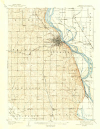
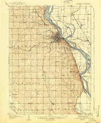
Nebraska City serves as the focal point of this 1905 survey, showing the riverfront town at a height of its early twentieth-century growth. Situated on the bluffs above the Missouri River, the city layout includes the established grounds of Morton Park and a dense network of streets that transition into the surrounding agricultural landscape. The map provides a remarkable view of the regional infrastructure, detailing several rail lines including the Chicago Burlington and Quincy RR and the Missouri Pacific RR, which connected river commerce to the interior.
Find a feature on this map
67 named features on this map. Tap any name to fly to it.
Don’t see what you’re looking for? This feature index may not catch every label — zoom into the map to look around manually.
Map Details
Editions of this 1907 Nebraska City Map
3 editions found
Other maps of this area

1903 · Weeping Water
USGS Topo · 1:125,000

1915 · Nemaha
USGS Topo · 1:62,500

1915 · Howe
USGS Topo · 1:62,500

1929 · Weeping Water
USGS Topo · 1:125,000

1935 · Nehawka
USGS Topo · 1:48,000

1939 · Hamburg
USGS Topo · 1:62,500

1939 · Nemaha
USGS Topo · 1:62,500

1940 · Nehawka
USGS Topo · 1:62,500

1941 · Hamburg
USGS Topo · 1:62,500

1949 · Nemaha
USGS Topo · 1:62,500