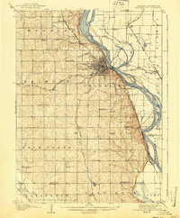
1907 Map of Nebraska City
USGS Topo · Published 1940About this map
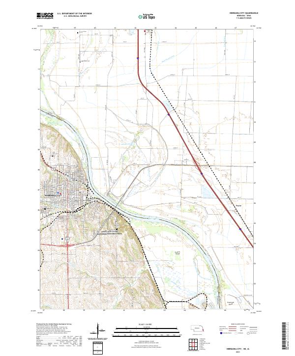
Nebraska City serves as the focal point of this regional study, situated along a sharp bend in the Missouri River. The area is densely patterned with rural educational institutions, including Baker School, Castle Grove School, and Hazel Dell School, which provided local instruction across the sprawling townships of Belmont, Four Mile, and Rock Creek. These small schoolhouses, alongside community landmarks like St Lukes Church and the recreational space of Morton Park, reflect the social structure of Otoe County at the turn of the century.
Find a feature on this map
64 named features on this map. Tap any name to fly to it.
Don’t see what you’re looking for? This feature index may not catch every label — zoom into the map to look around manually.
Map Details
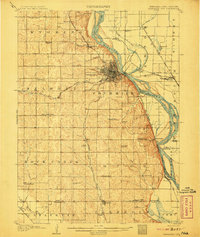
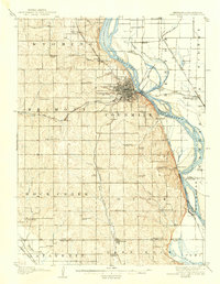
Editions of this 1907 Nebraska City Map
3 editions found
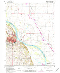
Historical Maps of Nebraska City Through Time
12 maps found
1907 Nebraska City
Otoe County, NE

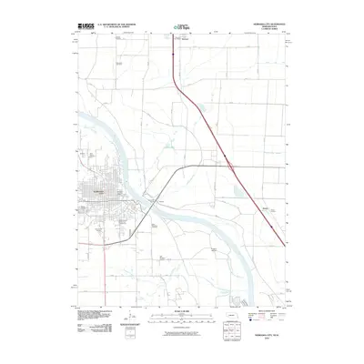
1955 Nebraska City
Otoe County, NE

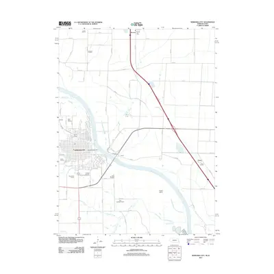
1957 Nebraska City
Otoe County, NE

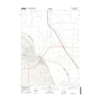
1958 Nebraska City
Otoe County, NE
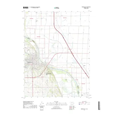
1966 Nebraska City
Otoe County, NE

1985 Nebraska City
Otoe County, NE

1993 Nebraska City
Otoe County, NE
2010 Nebraska City
Otoe County, NE
2011 Nebraska City
Otoe County, NE
2014 Nebraska City
Otoe County, NE
2017 Nebraska City
Otoe County, NE
2021 Nebraska City
Otoe County, NE