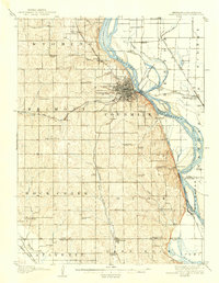
1907 Map of Nebraska City
USGS Topo · Published 1940About this map
The Missouri River serves as the focal point for this early twentieth-century survey, dividing Nebraska from Iowa and Missouri. Nebraska City dominates the landscape as a significant regional hub, its grid layout sitting just west of the river's bend and north of Morton Park. The map reveals a high density of rural infrastructure, particularly the network of local schools like Belmont School and Hazel Dell School, which provided education to the surrounding farming communities.
Find a feature on this map
66 named features on this map. Tap any name to fly to it.
Don’t see what you’re looking for? This feature index may not catch every label — zoom into the map to look around manually.
Map Details
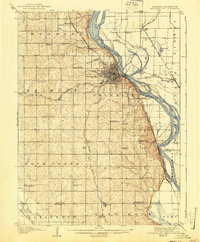
Editions of this 1907 Nebraska City Map
3 editions found
Other maps of this area

1903 · Weeping Water
USGS Topo · 1:125,000

1907 · Nebraska City
USGS Topo · 1:62,500

1915 · Nemaha
USGS Topo · 1:62,500

1915 · Howe
USGS Topo · 1:62,500

1929 · Weeping Water
USGS Topo · 1:125,000

1935 · Nehawka
USGS Topo · 1:48,000

1939 · Hamburg
USGS Topo · 1:62,500

1939 · Nemaha
USGS Topo · 1:62,500

1940 · Nehawka
USGS Topo · 1:62,500

1941 · Hamburg
USGS Topo · 1:62,500