
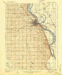
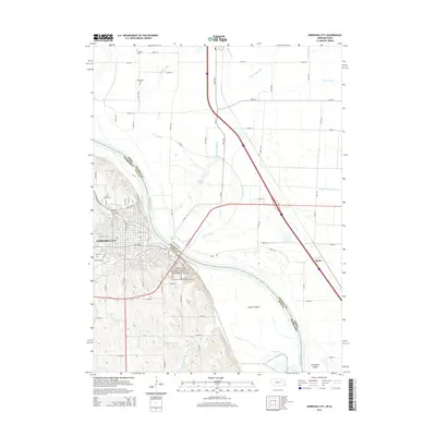
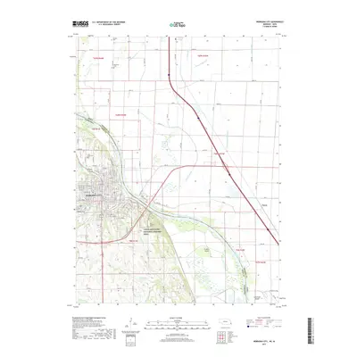
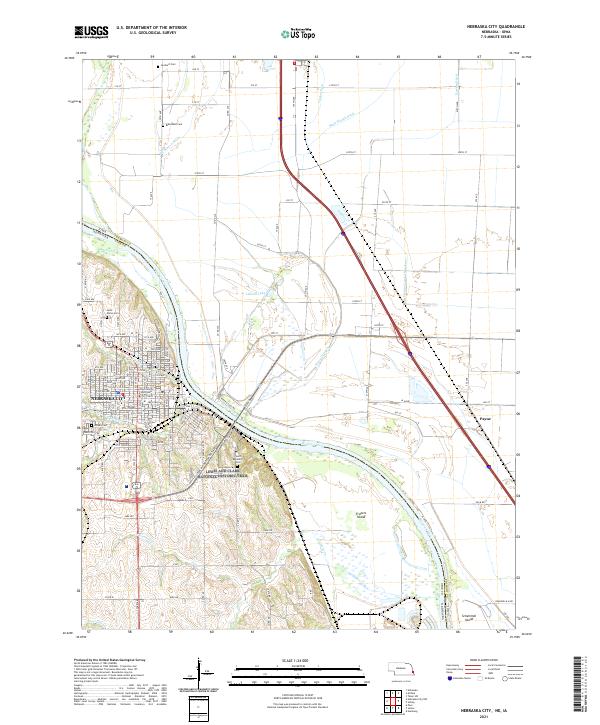
1957 Map of Nebraska City
USGS Topo · Published 1957About this map
The Missouri River forms the central spine of this mid-century survey, dividing the grain-rich plains of Nebraska and Kansas from the rolling uplands of Iowa and Missouri. This document illustrates a mature agrarian landscape at the height of the post-war era, where trade was dictated by a dense network of iron and asphalt. Major rail lines including the Chicago Burlington and Quincy RR and the Wabash RR connect established regional hubs like Nebraska City, Shenandoah, and Maryville. In the south, the Squaw Creek National Wildlife Refuge stands as a significant conservation landmark near the river's bend. The map captures the complex hydrology of the region, from the winding Nishnabotna River to the curiously named One Hundred and Two River, showing how these waterways influenced the placement of county seats and agricultural centers across four state lines.
Find a feature on this map
98 named features on this map. Tap any name to fly to it.
Don’t see what you’re looking for? This feature index may not catch every label — zoom into the map to look around manually.
Map Details
Editions of this 1957 Nebraska City Map
This is the sole edition of this map. No revisions or reprints were ever made.
Historical Maps of Maryville Through Time
12 maps found
1907 Nebraska City
Otoe County, NE

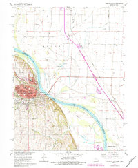
1955 Nebraska City
Otoe County, NE
1957 Nebraska City
Otoe County, NE

1958 Nebraska City
Otoe County, NE
1966 Nebraska City
Otoe County, NE

1985 Nebraska City
Otoe County, NE

1993 Nebraska City
Otoe County, NE
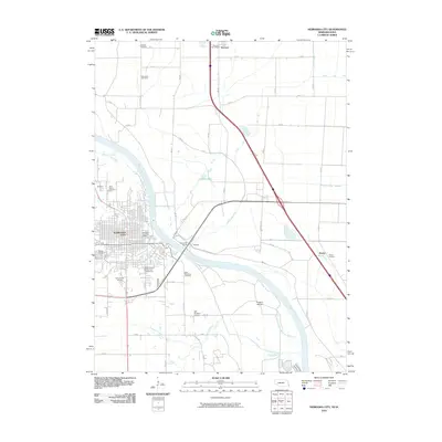
2010 Nebraska City
Otoe County, NE
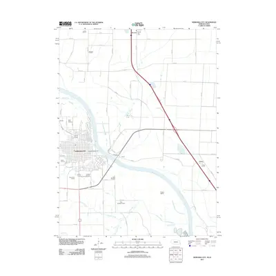
2011 Nebraska City
Otoe County, NE
2014 Nebraska City
Otoe County, NE
2017 Nebraska City
Otoe County, NE
2021 Nebraska City
Otoe County, NE