Loading...
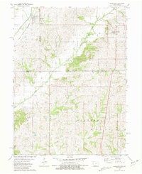
Loading map...1943 Map of Blockton
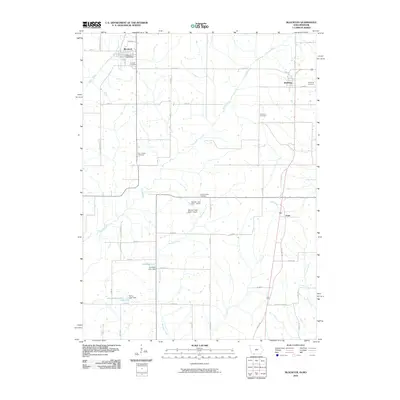
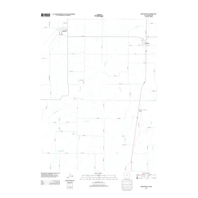
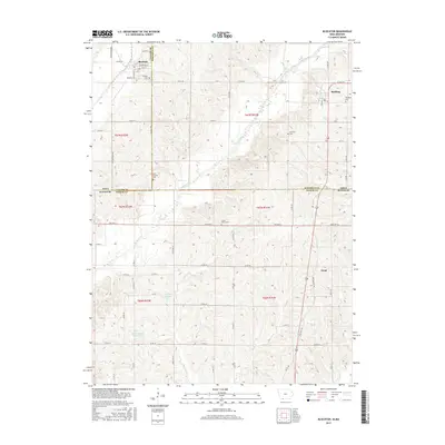
USGS Topo · Published 1943About this map
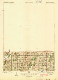
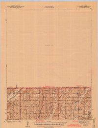
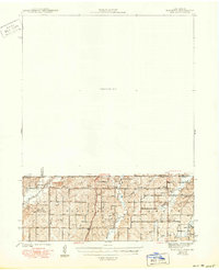
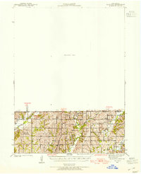
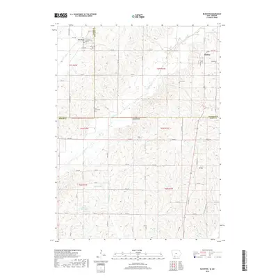
Irena stands as a focal point in this 1940s survey of the borderlands between Iowa and Missouri. The landscape is defined by a dense network of rural schoolhouses, illustrating the decentralized educational system of the era with sites like Pleasant Valley Sch, Honey Grove Sch, and the uniquely named Molar Sch scattered across the township of Fletchall. The topography is shaped by the southern flow of the Grand River and several branches of Lotts Creek, including the Middle Fork Lotts Creek and East Fork Lotts Creek.
Find a feature on this map
31 named features on this map. Tap any name to fly to it.
Don’t see what you’re looking for? This feature index may not catch every label — zoom into the map to look around manually.
Map Details
Date Portrayed1943
Date Published1943
PublisherU.S. Geological Survey
Map TypeTopographic
Scale1:62,500
Physical Dimensions15.2 x 20.8 inches
Editions of this 1943 Blockton Map
3 editions found
Historical Maps of Mount Ayr Through Time
8 maps found
Featured Locations
Source Details
SourceU.S. Geological Survey
CopyrightPublic Domain