
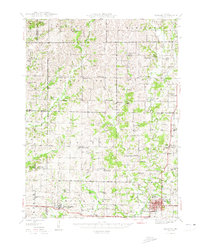
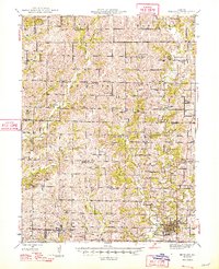
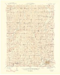
1948 Map of Bethany
USGS Topo · Published 1948About this map
Bethany stands as a significant regional center in the late 1940s, anchored by the Chicago Burlington and Quincy railroad line and the nearby Bethany Reservoir. The landscape is a dense network of township communities, including Washington Center, Martinsville, and New Hampton, each defined by their local schoolhouses and churches. Family and community heritage is deeply rooted here, evidenced by numerous named burial grounds like Grace Cem, Lone Star Cem, and Kidwell Gem.
Find a feature on this map
91 named features on this map. Tap any name to fly to it.
Don’t see what you’re looking for? This feature index may not catch every label — zoom into the map to look around manually.
Map Details
Editions of this 1948 Bethany Map
4 editions found
Other maps of this area

1925 · Pattonsburg
USGS Topo · 1:62,500

1925 · Gilman
USGS Topo · 1:62,500

1925 · Darlington
USGS Topo · 1:62,500

1940 · Blockton
USGS Topo · 1:62,500

1942 · Grant City
USGS Topo · 1:62,500

1943 · Grant City
USGS Topo · 1:62,500

1943 · Blockton
USGS Topo · 1:62,500

1944 · Pattonsburg
USGS Topo · 1:62,500

1945 · Mount Ayr
USGS Topo · 1:62,500

1945 · Lamoni
USGS Topo · 1:62,500