Old Maps of Bethany, Missouri
Explore 19 old maps of Bethany, spanning from 1925 to today. These high-resolution historic maps reveal how streets, neighborhoods, landmarks, and natural features evolved over time — perfect for genealogy, metal detecting, research, and local history exploration.
What you can do with these maps:
- See how Bethany changed over time: Compare historical maps to modern-day views to trace roads, homesites, rail lines & more.
- View detailed metadata: Each map includes creators, publishers, year, scale, and archive source.
- Overlay maps with satellite & LiDAR: Visualize the past alongside modern tools to explore terrain & human change.
- Trusted historical sources: Maps sourced from the USGS, Library of Congress, and other archives.
- Access maps your way: View online, download high-res files, or order prints for personal or research use.
Start exploring old maps of Bethany to uncover forgotten places, hidden landmarks, and the deep history beneath your feet.
Bethany, MO maps
(19)- 1925 Map of Pattonsburg
 1925 Pattonsburg1925 Print · USGSDaviess and Gentry counties are shown here in the mid-1920s as a thriving rail and river landscape. Researchers can trace the paths of the Wabash railroad through Pattonsburg or locate rural landmarks like Wesley Chapel and the Everly School.3 unique versions available
 - 1944 Map of Pattonsburg, 1977 Print
 1944 Pattonsburg1977 Print · USGSNorthwest Missouri in the 1940s is defined here by the winding Grand River and the busy WABASH rail line. Genealogists can locate family landmarks like Savage Cem, the Coffey P O and Sta, and rural centers such as Mitchellville.2 unique versions available
 - 1946 Map of Pattonsburg
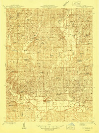 1946 Pattonsburg1946 Print · USGSNorthwest Missouri's river valleys and rail lines are captured here in the mid-1940s, showing a landscape defined by small-scale agriculture and close-knit rural communities. Genealogists can locate numerous local institutions like Virginia Ridge Sch, Pattonsburg, and the Crab Orchard Cem.
 - 1948 Map of Bethany
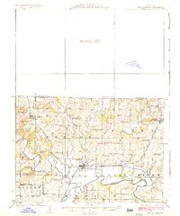
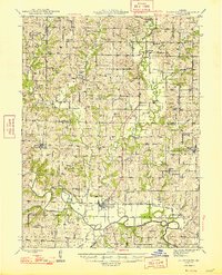
 1948 Bethany1948 Print · USGSNorthwestern Missouri's agricultural heartland is captured here in the years following the war, centered on the hub of Bethany. Researchers can trace rural genealogy through family-named sites like Magee Cem and dozens of local schools including Glendenning Sch and Solomon Sch.4 unique versions available
 - 1948 Map of Pattonsburg
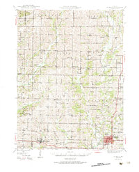
 1948 Pattonsburg1948 Print · USGSDaviess and Gentry counties are shown here just after the war, featuring the winding Grand River and the Wabash rail line. Researchers can locate many former rural landmarks, including Rice Town Sch, Mooney Bridge, and Salem Coffey P O and Sta.2 unique versions available
 - 1955 Map of Nebraska City, 1967 Print
 1955 Nebraska City1967 Print · USGSThe four-state region surrounding the Missouri River valley appears here in the mid-1950s, a landscape of rail-dependent market towns and rural school districts. Genealogists can locate family landmarks like the Rock Bluff School, St Oswald Church, and the Clarinda State Hospital.3 unique versions available
 - 1957 Map of Nebraska City
 1957 Nebraska City1957 Print · USGSThe four-state junction of Nebraska, Iowa, Missouri, and Kansas comes alive in this mid-fifties survey of the Missouri River valley. Genealogists and historians can trace the rail-and-road networks connecting Nebraska City, Maryville, and the Squaw Creek National Wildlife Refuge.
 - 1958 Map of Nebraska City
 1958 Nebraska City1958 Print · USGSThe Missouri River Valley and its fertile four-state borderlands are captured here during the mid-century expansion of the regional highway and rail networks. Genealogists can trace family roots through numerous rural landmarks like Moulton School, Shady Grove Church, and the Clarinda State Hospital.
 - 1984 Map of Bethany, 1985 Print
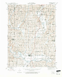
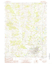 1984 Bethany1985 Print · USGSBethany and its surrounding Harrison County landscape are captured here in the early eighties as the town grew along its historic waterways. Researchers can trace the paths of Big Creek and Little Creek or locate local Cem sites and the Sewage Disposal Plant.
 - 1984 Map of Mitchellville, 1985 Print
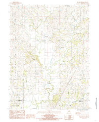 1984 Mitchellville1985 Print · USGSHarrison and Daviess Counties appear in the early eighties as a network of small settlements and winding creek branches. Researchers can trace the rural landscape around Mitchellville and Bridgeport, locating sites like the local Cemetery and Wildwood.
 - 1986 Map of Maryville
 1986 Maryville1986 Print · USGSNorthwest Missouri's agricultural heartland is documented here in the mid-1980s, from the campus at Northwest Missouri State University to the Grand River valley. Genealogists can trace family footprints across dozens of local burial grounds like Alanthus Grove Cem and Brooklyn Cem.2 unique versions available
 - 2011 Map of Bethany, 2011 Print
 2011 Bethany2011 Print · USGSCovers Bethany, including Harrison County, United States, and other nearby areas
 - 2011 Map of Mitchellville, 2011 Print
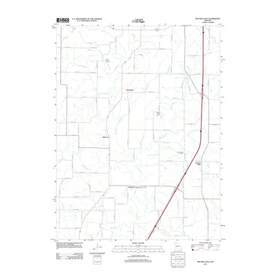 2011 Mitchellville2011 Print · USGSCovers Bethany, including Bridgeport, Mitchellville, and other nearby areas
 - 2014 Map of Mitchellville, 2014 Print
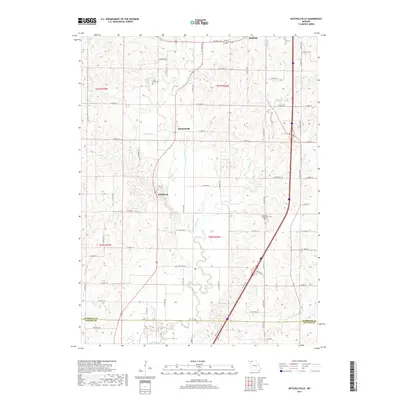
 2014 Mitchellville2014 Print · USGSCovers Bethany, including Bridgeport, Mitchellville, and other nearby areas
 - 2014 Map of Bethany, 2014 Print
 2014 Bethany2014 Print · USGSCovers Bethany, including Harrison County, United States, and other nearby areas
 - 2017 Map of Mitchellville, 2017 Print
 2017 Mitchellville2017 Print · USGSCovers Bethany, including Bridgeport, Mitchellville, and other nearby areas
 - 2017 Map of Bethany, 2017 Print
 2017 Bethany2017 Print · USGSCovers Bethany, including Harrison County, United States, and other nearby areas
 - 2021 Map of Bethany, 2021 Print
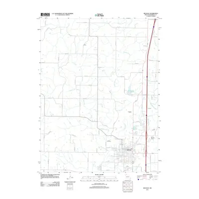
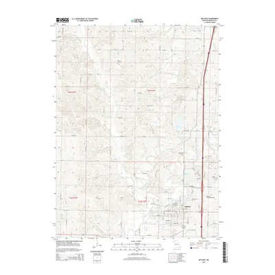
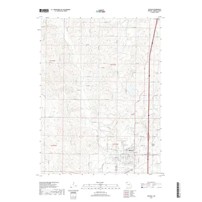
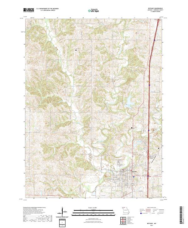 2021 Bethany2021 Print · USGSNorthwest Missouri's county seat of Bethany comes into focus in this recent survey of its river forks and rural corridors. Researchers can locate the Harrison County Courthouse and trace genealogies at Russ Cem or Phillebaum Cem.
 - 2021 Map of Mitchellville, 2021 Print
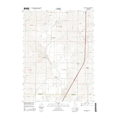
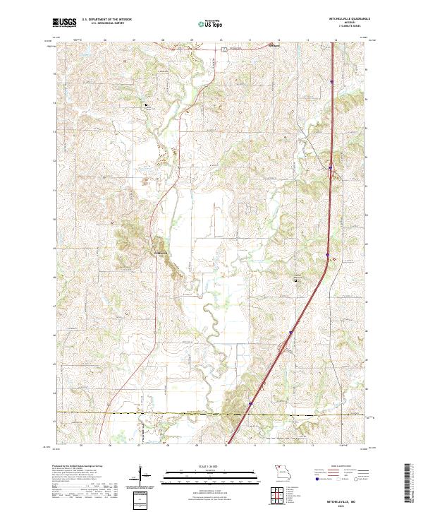 2021 Mitchellville2021 Print · USGSHarrison County farmland in the early 2020s shows a landscape still defined by its many winding creeks and rural road networks. Genealogists and local historians can trace family locations near Mount Olivet Cem, Wildwood, and the banks of Polecat Cr.
End of results
Showing maps 1-19 of 19
Top cities near Bethany
- Ridgeway historical maps
- New Hampton historical maps
- Eagleville historical maps
- Pattonsburg historical maps
- Blythedale historical maps
- Coffey historical maps
See more
Frequently asked questions
- What are the different types of historical maps available for Bethany?
- What is the oldest map of Bethany?
- Where can I purchase historical maps of Bethany for my home or office?
- Where can I download high-res historical maps of Bethany?
- Are there historical topographic maps available for Bethany?
- Is there historical aerial imagery available for Bethany?
- Where are historical maps of Bethany sourced from?