2000s (21st Century) Maps of Bethany, Missouri
Explore 8 historic maps of Bethany from the 2000s (21st Century). These maps offer a rare glimpse into what life looked like during the 2000s — showing old roads, neighborhoods, homes, and landmarks that have changed or disappeared over time.
Whether you're researching your family's past, planning a metal detecting trip, or studying how Bethany's landscape evolved across the 2000s, these high-resolution maps are a powerful tool for exploring the history of this region.
- Focus on a specific era: All maps on this page are from the 2000s, giving you a focused view of this time period.
- See what’s changed: Compare century-old streets, trails, and buildings to today's modern landscape using overlays and satellite layers.
- Research with precision: Use these maps for genealogy, historical research, land use analysis, or educational projects.
- View, download, or print: Maps are fully viewable online in high resolution, and can be downloaded or printed for your own records.
Start exploring Bethany's history through authentic maps from the 2000s. This is your window into the past.
Bethany, MO maps
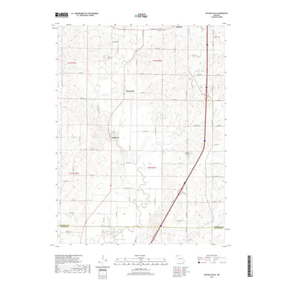
(8)- 2011 Map of Bethany, 2011 Print
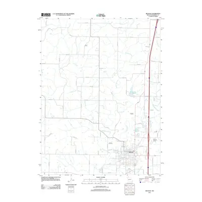 2011 Bethany2011 Print · USGSCovers Bethany, including Harrison County, United States, and other nearby areas
 - 2011 Map of Mitchellville, 2011 Print
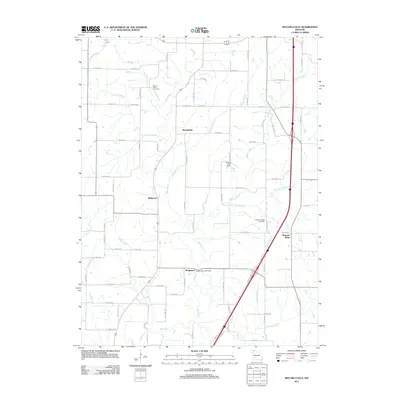 2011 Mitchellville2011 Print · USGSCovers Bethany, including Bridgeport, Mitchellville, and other nearby areas
 - 2014 Map of Mitchellville, 2014 Print
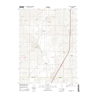 2014 Mitchellville2014 Print · USGSCovers Bethany, including Bridgeport, Mitchellville, and other nearby areas
 - 2014 Map of Bethany, 2014 Print
 2014 Bethany2014 Print · USGSCovers Bethany, including Harrison County, United States, and other nearby areas
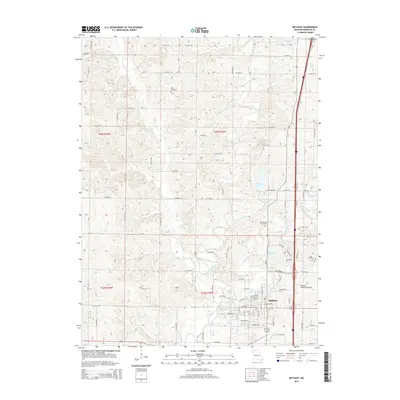
 - 2017 Map of Mitchellville, 2017 Print
 2017 Mitchellville2017 Print · USGSCovers Bethany, including Bridgeport, Mitchellville, and other nearby areas
 - 2017 Map of Bethany, 2017 Print
 2017 Bethany2017 Print · USGSCovers Bethany, including Harrison County, United States, and other nearby areas
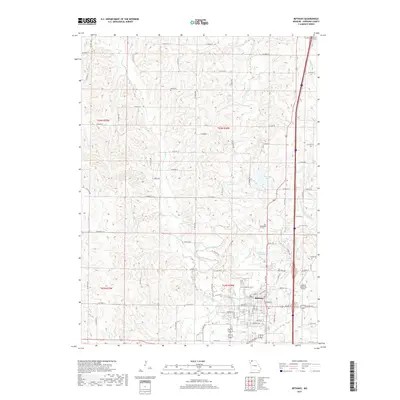
 - 2021 Map of Bethany, 2021 Print
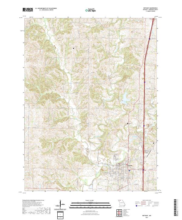 2021 Bethany2021 Print · USGSNorthwest Missouri's county seat of Bethany comes into focus in this recent survey of its river forks and rural corridors. Researchers can locate the Harrison County Courthouse and trace genealogies at Russ Cem or Phillebaum Cem.
 - 2021 Map of Mitchellville, 2021 Print
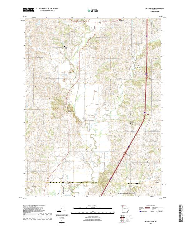 2021 Mitchellville2021 Print · USGSHarrison County farmland in the early 2020s shows a landscape still defined by its many winding creeks and rural road networks. Genealogists and local historians can trace family locations near Mount Olivet Cem, Wildwood, and the banks of Polecat Cr.
End of results
Showing maps 1-8 of 8
Top cities near Bethany
- Ridgeway historical maps
- New Hampton historical maps
- Eagleville historical maps
- Pattonsburg historical maps
- Blythedale historical maps
- Coffey historical maps
See more
Frequently asked questions
- What are the different types of historical maps available for Bethany?
- What is the oldest map of Bethany?
- Where can I purchase historical maps of Bethany for my home or office?
- Where can I download high-res historical maps of Bethany?
- Are there historical topographic maps available for Bethany?
- Is there historical aerial imagery available for Bethany?
- Where are historical maps of Bethany sourced from?