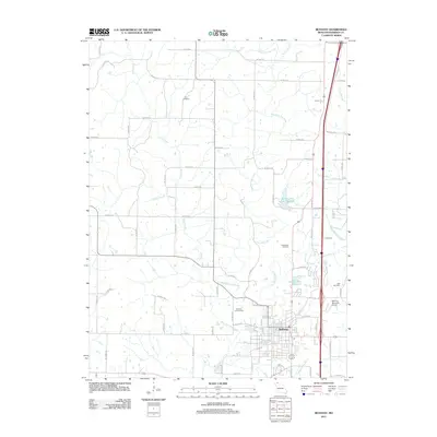
2011 Map of Bethany
USGS Topo · Published 2011About this map
Bethany serves as the regional anchor for this part of Harrison County, positioned where the East Fork Big Creek and West Fork Big Creek converge. The landscape is defined by its water management and agricultural infrastructure, featuring both the Bethany City Reservoir and the larger Bethany New City Reservoir to the north. These water bodies, along with smaller tributaries like Pecks Branch and Little Creek, reveal a terrain shaped by the needs of a rural Missouri community and its county seat.
Find a feature on this map
73 named features on this map. Tap any name to fly to it.
Don’t see what you’re looking for? This feature index may not catch every label — zoom into the map to look around manually.
Map Details
Editions of this 2011 Bethany Map
This is the sole edition of this map. No revisions or reprints were ever made.
Other maps of this area

1925 · Pattonsburg
USGS Topo · 1:62,500

1925 · Gilman
USGS Topo · 1:62,500

1944 · Pattonsburg
USGS Topo · 1:62,500

1946 · Gilman
USGS Topo · 1:48,000

1946 · Pattonsburg
USGS Topo · 1:48,000

1947 · Blythedale
USGS Topo · 1:62,500

1948 · Gilman
USGS Topo · 1:62,500

1948 · Bethany
USGS Topo · 1:62,500

1948 · Pattonsburg
USGS Topo · 1:62,500

1954 · Centerville
USGS Topo · 1:250,000