Loading...
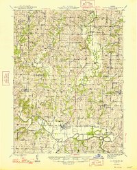
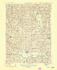
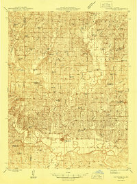
Loading map...1948 Map of Pattonsburg
USGS Topo · Published 1948About this map
Pattonsburg serves as a central hub along the Grand River in this postwar Missouri landscape, where the Wabash railroad tracks follow the river's winding course. The map documents a dense network of rural infrastructure, from the Mooney Bridge crossing Big Creek to numerous family-named landmarks and local centers like Salem Coffey P O and Sta and McFall.
Find a feature on this map
114 named features on this map. Tap any name to fly to it.
Don’t see what you’re looking for? This feature index may not catch every label — zoom into the map to look around manually.
Map Details
Date Portrayed1948
Date Published1948
PublisherU.S. Geological Survey
Map TypeTopographic
Scale1:62,500
Physical Dimensions16.8 x 20.8 inches
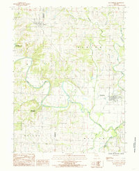
Editions of this 1948 Pattonsburg Map
2 editions found
Historical Maps of Bethany Through Time
5 maps found
Featured Locations
Source Details
SourceU.S. Geological Survey
CopyrightPublic Domain