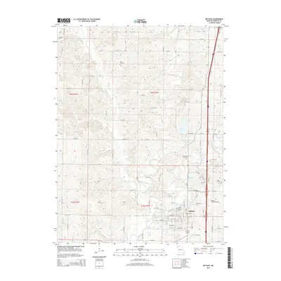
2014 Map of Bethany
USGS Topo · Published 2014About this map
Bethany serves as the regional hub of Harrison County, situated where the E Fork Big Cr and W Fork Big Cr converge. The town's grid is detailed with residential streets like Newbern St and Alder St, leading toward the Bethany Reservoir and the Bethany Memorial Airport on the eastern edge. This 2014 survey reveals a landscape defined by its riparian corridors, including Pecks Br and Crabapple Br, which cut through the agricultural surroundings.
Find a feature on this map
109 named features on this map. Tap any name to fly to it.
Don’t see what you’re looking for? This feature index may not catch every label — zoom into the map to look around manually.
Map Details
Editions of this 2014 Bethany Map
This is the sole edition of this map. No revisions or reprints were ever made.
Other maps of this area

1925 · Pattonsburg
USGS Topo · 1:62,500

1925 · Gilman
USGS Topo · 1:62,500

1944 · Pattonsburg
USGS Topo · 1:62,500

1946 · Gilman
USGS Topo · 1:48,000

1946 · Pattonsburg
USGS Topo · 1:48,000

1947 · Blythedale
USGS Topo · 1:62,500

1948 · Gilman
USGS Topo · 1:62,500

1948 · Bethany
USGS Topo · 1:62,500

1948 · Pattonsburg
USGS Topo · 1:62,500

1954 · Centerville
USGS Topo · 1:250,000