Loading...
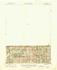
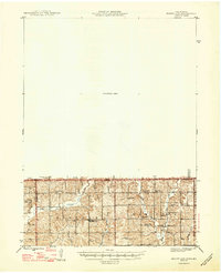
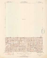
Loading map...1947 Map of Mount Ayr
USGS Topo · Published 1947About this map
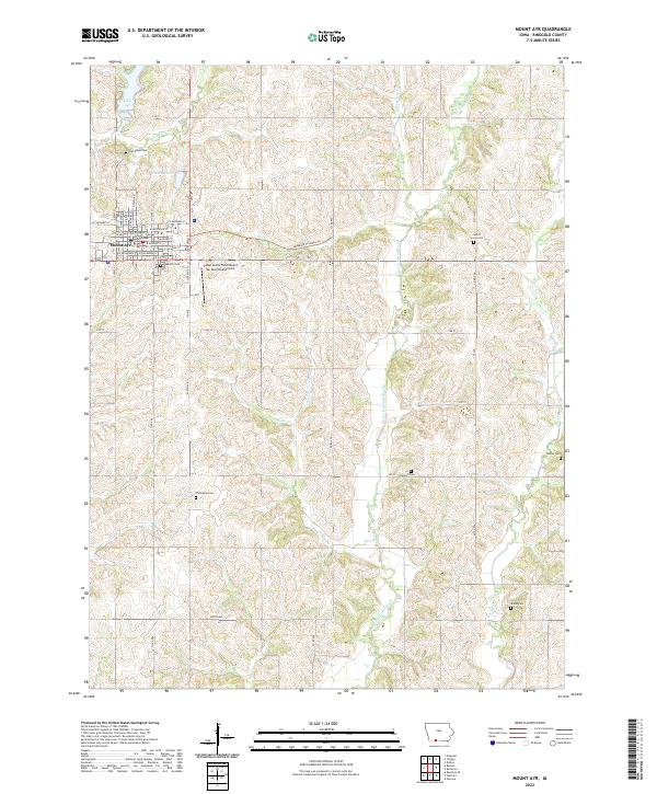
Hatfield and Pawnee anchor this 1945 survey of the borderlands between Missouri and Iowa. The landscape is defined by the headwaters of Lotts Creek and Big Creek, where early mid-century rural life is meticulously recorded through a dense network of country schools and churches. Prominent landmarks such as Lone Rock and High Point rise above the drainage basins of Friendship Creek and Muddy Creek.
Find a feature on this map
26 named features on this map. Tap any name to fly to it.
Don’t see what you’re looking for? This feature index may not catch every label — zoom into the map to look around manually.
Map Details
Date Portrayed1947
Date Published1947
PublisherU.S. Geological Survey
Map TypeTopographic
Scale1:62,500
Physical Dimensions17.1 x 21 inches
Editions of this 1947 Mount Ayr Map
2 editions found
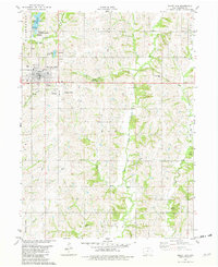
Historical Maps of Mount Ayr Through Time
9 maps found


Featured Locations
Source Details
SourceU.S. Geological Survey
CopyrightPublic Domain