Loading...
Loading map...1943 Map of Grant City
USGS Topo · Published 1943About this map
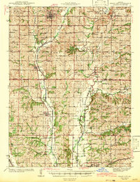
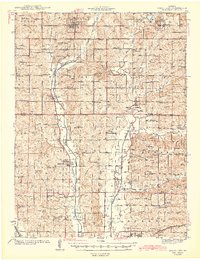
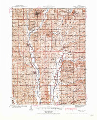
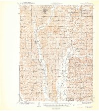
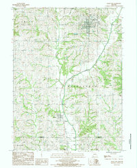
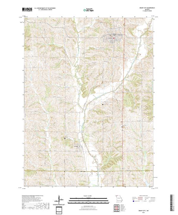
Grant City serves as a focal point for this rural landscape in Northwest Missouri during the early 1940s. The region is defined by the three branches of the Grand River—the Middle Fork, East Fork, and the main channel—which carve through the townships of Fletchall, Middle Fork, and Bogle. The transportation network is dominated by the Chicago Burlington and Quincy and Chicago Great Western railroads, which facilitated the movement of agricultural goods from outlying settlements like Sheridan and Allendale.
Find a feature on this map
103 named features on this map. Tap any name to fly to it.
Don’t see what you’re looking for? This feature index may not catch every label — zoom into the map to look around manually.
Map Details
Date Portrayed1943
Date Published1943
PublisherU.S. Geological Survey
Map TypeTopographic
Scale1:62,500
Physical Dimensions15.4 x 19.9 inches
Editions of this 1943 Grant City Map
3 editions found
Historical Maps of Albany Through Time
7 maps found
Featured Locations
Source Details
SourceU.S. Geological Survey
CopyrightPublic Domain