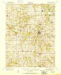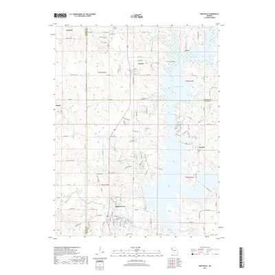
1914 Map of Smithville
USGS Topo · Published 1914About this map
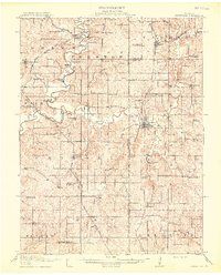
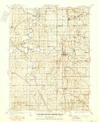
Smithville serves as a central hub on this 1914 survey, situated where the Little Platte Riv converges with the main stem of the Platte River. The landscape is a dense network of early 20th-century rural infrastructure, characterized by an exceptional concentration of one-room schoolhouses like Lone Star School, Buckeye School, and Martin School that served the surrounding farmstead communities. Transportation is defined by the intersection of the Interstate Trail and two major rail lines, including the Chicago Rock Island and Pacific RR.
Find a feature on this map
83 named features on this map. Tap any name to fly to it.
Don’t see what you’re looking for? This feature index may not catch every label — zoom into the map to look around manually.
Map Details
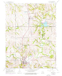
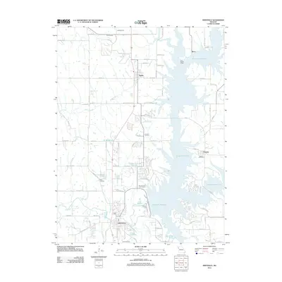
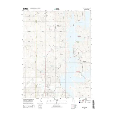
Editions of this 1914 Smithville Map
4 editions found

Historical Maps of Kansas City Through Time
8 maps found