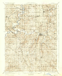
1914 Map of Smithville
USGS Topo · Published 1937About this map
The Platte River and its meandering tributary, the Little Platte River, dominate this early twentieth-century landscape north of Kansas City. Settlement patterns follow the river valleys and the expanding rail network, with Smithville serving as a significant junction point. The map reveals a dense network of rural infrastructure, including a remarkable concentration of country schoolhouses like Lone Star School, Styne School, and Buckeye School, which anchored local communities before the era of school consolidation.
Find a feature on this map
76 named features on this map. Tap any name to fly to it.
Don’t see what you’re looking for? This feature index may not catch every label — zoom into the map to look around manually.
Map Details
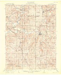
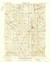
Editions of this 1914 Smithville Map
4 editions found
Other maps of this area

1890 · Kansas City
USGS Topo · 1:125,000

1894 · Kansas City
USGS Topo · 1:125,000

1894 · Independence
USGS Topo · 1:125,000

1910 · Leavenworth
USGS Topo · 1:62,500

1914 · Smithville
USGS Topo · 1:62,500

1925 · Gower
USGS Topo · 1:62,500

1925 · Plattsburg
USGS Topo · 1:62,500

1927 · Dearborn
USGS Topo · 1:62,500

1934 · Bonner Springs
USGS Topo · 1:48,000

1934 · Wolcott
USGS Topo · 1:24,000