Loading...
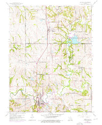
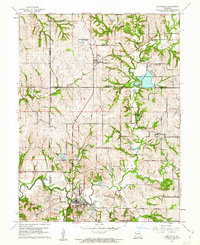
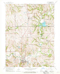
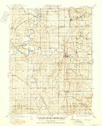
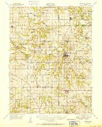
Loading map...1961 Map of Smithville
USGS Topo · Published 1976About this map
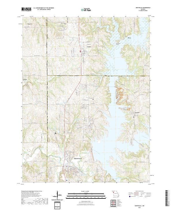
The Little Platte River snakes through this landscape, defining the character of the Missouri borderlands between Clay and Platte Counties. At the heart of the region, Smithville serves as a primary settlement, while smaller outposts like Trimble and Paradise anchor the agricultural and recreational areas to the north. The presence of the Trimble Wildlife Management Area and numerous water bodies such as Kings Lake, Miller Lake, and Shady Hollow Lakes highlights a transition toward managed conservation and recreation by the mid-1970s.
Find a feature on this map
41 named features on this map. Tap any name to fly to it.
Don’t see what you’re looking for? This feature index may not catch every label — zoom into the map to look around manually.
Map Details
Date Portrayed1961
Date Published1976
PublisherU.S. Geological Survey
Map TypeTopographic
Scale1:24,000
Physical Dimensions22 x 26.9 inches
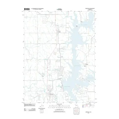
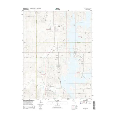
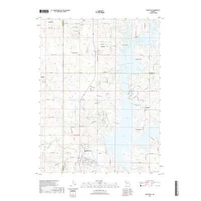
Editions of this 1961 Smithville Map
Historical Maps of Smithville Through Time
8 maps found

Featured Locations
Source Details
SourceU.S. Geological Survey
CopyrightPublic Domain