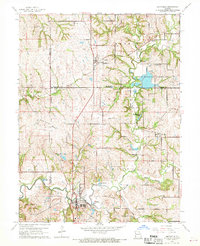
1961 Map of Smithville
USGS Topo · Published 1970About this map
Smithville serves as the primary hub at the confluence of several vital watercourses, where the Little Platte River meets Wilkerson Creek and Crows Creek. This landscape in the early 1960s is defined by its transition from agricultural bottomlands to managed recreational and conservation areas. The Trimble Wildlife Management Area dominates the northeast, centered around several lakes and the winding Linn Branch, which is crossed by the Linn Branch Bridge and Rice Bridge. Small rural settlements like Mecca, Trimble, and Paradise dot the terrain, connected by a network of winding roads. Genealogists and local historians can locate several family landmarks and community anchors, such as the Reed Cem, Davenport Cem, and Pleasant Hill Ch, which reflect the long-standing rural structure of the region before more modern suburban development reached this part of Missouri.
Find a feature on this map
32 named features on this map. Tap any name to fly to it.
Don’t see what you’re looking for? This feature index may not catch every label — zoom into the map to look around manually.
Map Details
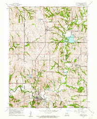
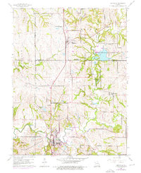
Editions of this 1961 Smithville Map
Other maps of this area

1890 · Kansas City
USGS Topo · 1:125,000

1894 · Kansas City
USGS Topo · 1:125,000

1894 · Independence
USGS Topo · 1:125,000

1914 · Smithville
USGS Topo · 1:62,500

1925 · Gower
USGS Topo · 1:62,500

1925 · Plattsburg
USGS Topo · 1:62,500

1936 · Kearney
USGS Topo · 1:48,000

1942 · Kearney
USGS Topo · 1:62,500

1945 · Kearney
USGS Topo · 1:62,500
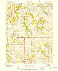
1948 · Nashua
USGS Topo · 1:24,000