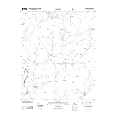
2011 Map of Fines Creek
USGS Topo · Published 2011About this map
Fines Creek Memorial Baptist Church stands as a central landmark in this mountain community, which is defined by a deep network of family cemeteries and rugged gaps. The settlement of Fines Creek is surrounded by ancestral burial grounds including the Newton Rogers Cemetery, Thad Rogers Cemetery, and Hiram Rogers Cemetery, providing a dense record of the area's genealogical history. The landscape is carved by steep ridges like Hurricane Ridge and Naked Place Mountain, with movement through the terrain historically dictated by numerous mountain passes such as Meadow Fork Gap, Bear Wallow Gap, and Martha Mooney Green Gap. In the southwestern corner, the Pigeon River flows near the New Hepco Bridge, while the interior is drained by a complex system of branches and creeks, including Toms Branch and Turkey Creek, that once supported small valley farmsteads in coves like Jones Cove and Ledford Cove.
Find a feature on this map
134 named features on this map. Tap any name to fly to it.
Don’t see what you’re looking for? This feature index may not catch every label — zoom into the map to look around manually.
Map Details
Editions of this 2011 Fines Creek Map
This is the sole edition of this map. No revisions or reprints were ever made.
Other maps of this area

1893 · Mt Guyot
USGS Topo · 1:125,000

1894 · Asheville
USGS Topo · 1:125,000

1901 · Asheville
USGS Topo · 1:125,000

1912 · Mt Guyot
USGS Topo · 1:125,000

1935 · Newport
USGS Topo · 1:48,000

1935 · Canton
USGS Topo · 1:24,000

1935 · Dellwood
USGS Topo · 1:24,000

1935 · Clyde
USGS Topo · 1:24,000

1935 · Spring Creek
USGS Topo · 1:24,000

1935 · Lemon Gap
USGS Topo · 1:24,000