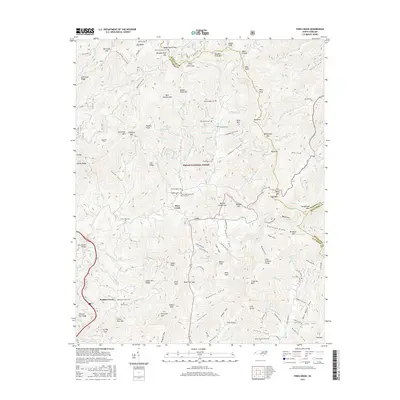
2016 Map of Fines Creek
USGS Topo · Published 2016About this map
The mountain settlements of Fines Creek and Cove anchor this area of western North Carolina, where the landscape is defined by its numerous family cemeteries and steep drainage basins. Family history is deeply etched into the geography, evidenced by sites like Hiram Rogers Cem, Newton Rogers Cem, and Thad Rogers Cem situated near Fines Creek Memorial Baptist Church. These labels reflect a long-standing kinship with the land in the high country.
Find a feature on this map
127 named features on this map. Tap any name to fly to it.
Don’t see what you’re looking for? This feature index may not catch every label — zoom into the map to look around manually.
Map Details
Editions of this 2016 Fines Creek Map
This is the sole edition of this map. No revisions or reprints were ever made.
Other maps of this area

1893 · Mt Guyot
USGS Topo · 1:125,000

1894 · Asheville
USGS Topo · 1:125,000

1901 · Asheville
USGS Topo · 1:125,000

1912 · Mt Guyot
USGS Topo · 1:125,000

1935 · Newport
USGS Topo · 1:48,000

1935 · Canton
USGS Topo · 1:24,000

1935 · Dellwood
USGS Topo · 1:24,000

1935 · Clyde
USGS Topo · 1:24,000

1935 · Spring Creek
USGS Topo · 1:24,000

1935 · Lemon Gap
USGS Topo · 1:24,000