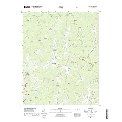
2019 Map of Fines Creek
USGS Topo · Published 2019About this map
Fines Creek and the surrounding Cove valley form the heart of this high-elevation landscape within the Pisgah National Forest. The map documents a deeply established mountain community defined by a dense network of family cemeteries, including Hiram Rogers Cem, Ferguson Cem, and Noland Cem, which offer significant genealogical value for researchers of Haywood County. The geography is dominated by high ridges and gaps, with Crabtree Bald and Sandymush Bald marking the horizon.
Find a feature on this map
152 named features on this map. Tap any name to fly to it.
Don’t see what you’re looking for? This feature index may not catch every label — zoom into the map to look around manually.
Map Details
Editions of this 2019 Fines Creek Map
This is the sole edition of this map. No revisions or reprints were ever made.
Other maps of this area

1893 · Mt Guyot
USGS Topo · 1:125,000

1894 · Asheville
USGS Topo · 1:125,000

1901 · Asheville
USGS Topo · 1:125,000

1912 · Mt Guyot
USGS Topo · 1:125,000

1935 · Newport
USGS Topo · 1:48,000

1935 · Canton
USGS Topo · 1:24,000

1935 · Dellwood
USGS Topo · 1:24,000

1935 · Clyde
USGS Topo · 1:24,000

1935 · Spring Creek
USGS Topo · 1:24,000

1935 · Lemon Gap
USGS Topo · 1:24,000