
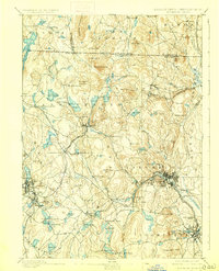
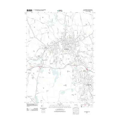
1889 Map of Fitchburg
USGS Topo · Published 1889About this map
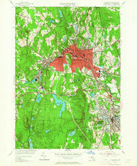
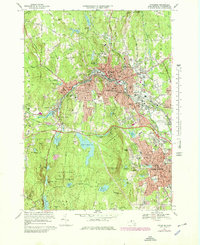
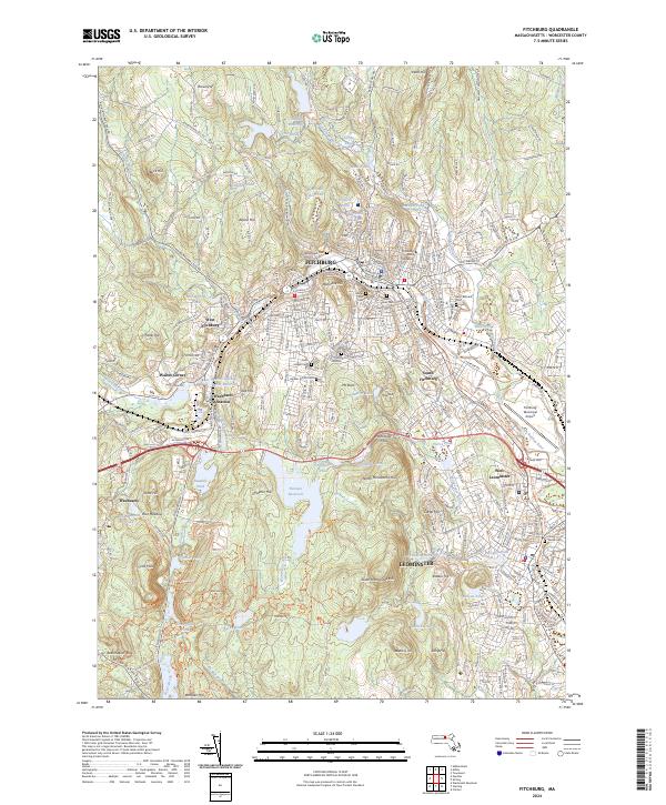
Industrial nodes and railroad junctions define this late 19th-century landscape spanning the New Hampshire Massachusetts boundary line. The city of Fitchburg serves as a major hub, where the Fitchburg Railroad, Old Colony Railroad, and Fitchburg Branch converge near Rollstone Hill. To the west, the village of Gardner and the busy interchange at Ashburnham Junction highlight the era's reliance on rail transport for moving goods and people.
Find a feature on this map
141 named features on this map. Tap any name to fly to it.
Don’t see what you’re looking for? This feature index may not catch every label — zoom into the map to look around manually.
Map Details
Editions of this 1889 Fitchburg Map
This is the sole edition of this map. No revisions or reprints were ever made.
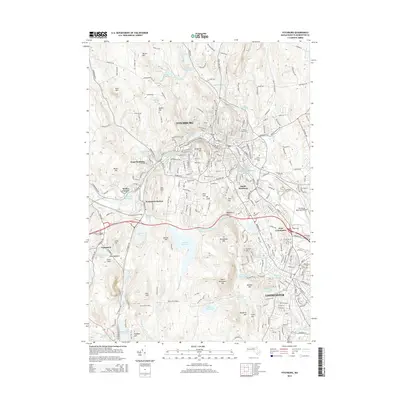
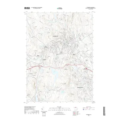
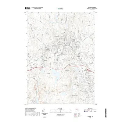
Historical Maps of Leominster Through Time
18 maps found

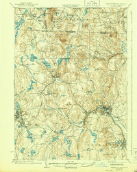
1887 Fitchburg
Worcester County, MA
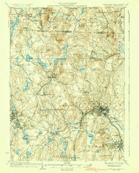
1889 Fitchburg
Worcester County, MA
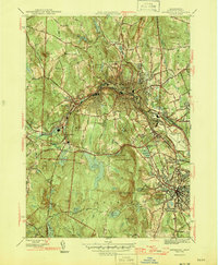
1893 Fitchburg
Worcester County, MA

1931 Fitchburg
Worcester County, MA
1935 Fitchburg
Worcester County, MA
1936 Fitchburg
Worcester County, MA

1943 Fitchburg
Worcester County, MA
1946 Fitchburg
Worcester County, MA

1953 Fitchburg
Worcester County, MA
1954 Fitchburg
Worcester County, MA
1969 Fitchburg
Worcester County, MA
1975 Fitchburg
Worcester County, MA
1988 Fitchburg
Worcester County, MA
2012 Fitchburg
Worcester County, MA
2015 Fitchburg
Worcester County, MA
2018 Fitchburg
Worcester County, MA
2021 Fitchburg
Worcester County, MA
2024 Fitchburg
Worcester County, MA