Loading...
Loading map...2022 Map of Flagler
USGS Topo · Published 2022About this map
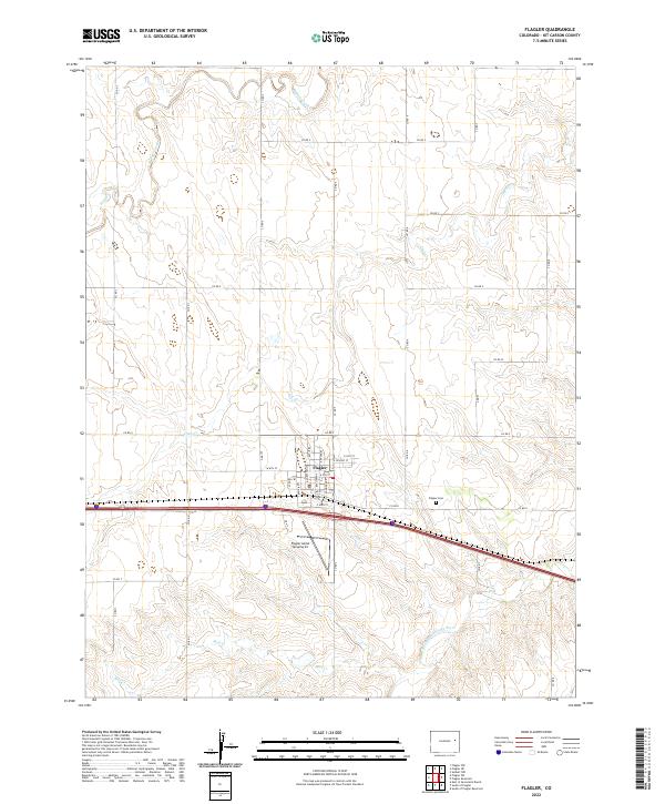
Flagler serves as the primary hub of this Kit Carson County landscape, characterized by its grid-based town planning and intersection of local roads. The settlement is defined by a series of named thoroughfares including Main Ave, Navajo Ave, and Loveland Ave, reflecting a structured approach to High Plains development. Local industry and services are evident through the presence of Flagler Aerial Spraying Inc, signaling the importance of aviation in the local agricultural economy.
Find a feature on this map
40 named features on this map. Tap any name to fly to it.
Don’t see what you’re looking for? This feature index may not catch every label — zoom into the map to look around manually.
Map Details
Date Portrayed2022
Date Published2022
PublisherU.S. Geological Survey
Map TypeTopographic
Scale1:24000
Physical Dimensions24 x 29 inches
Editions of this 2022 Flagler Map
This is the sole edition of this map. No revisions or reprints were ever made.
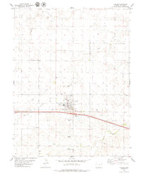
Historical Maps of Flagler Through Time
Featured Locations
Source Details
SourceU.S. Geological Survey
CopyrightPublic Domain