
1968 Map of Flat Top Hill
USGS Topo · Published 1973About this map
Irish Lake and McLaughlin Lake occupy a high drainage basin in this section of Natrona County, characterizing a landscape defined by seasonal water and open range. The topography is dominated by the prominent Flat Top Hill and the southern sweep of the Cottonwood Rim, which provides a natural boundary to the drainage systems of Indian Creek and Three Buttes Creek. A network of springs and reservoirs, such as Box Spring and the Big Pike Res, indicates the critical importance of water management for livestock in this arid environment. Traces of human activity are sparse but specific, including a Corral and a Drill Hole, reflecting the intersection of traditional ranching and the region's exploratory mineral interests. The intricate system of draws, such as Pike Draw, and creeks like Hackett Creek further illustrates the complex erosion patterns of the Wyoming high plains.
Find a feature on this map
17 named features on this map. Tap any name to fly to it.
Don’t see what you’re looking for? This feature index may not catch every label — zoom into the map to look around manually.
Map Details
Editions of this 1968 Flat Top Hill Map
This is the sole edition of this map. No revisions or reprints were ever made.
Other maps of this area

1955 · Arminto
USGS Topo · 1:250,000

1958 · Arminto
USGS Topo · 1:250,000

1962 · Arminto
USGS Topo · 1:250,000

1968 · First Water Draw
USGS Topo · 1:24,000

1968 · Willow Creek School
USGS Topo · 1:24,000
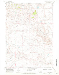
1968 · Notches Dome
USGS Topo · 1:24,000

1968 · Roughlock Hill
USGS Topo · 1:24,000

1968 · Big Sulfur Draw
USGS Topo · 1:24,000
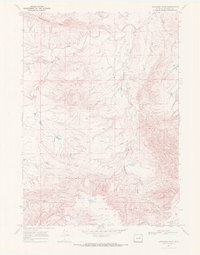
1968 · Anderson Draw
USGS Topo · 1:24,000
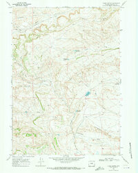
1968 · Three Buttes
USGS Topo · 1:24,000