
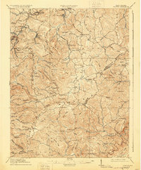
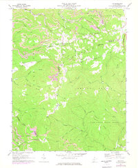
1911 Map of Flattop
USGS Topo · Published 1911About this map
Flat Top Mountain and the surrounding plateaus of southern West Virginia appear here during a period of industrial expansion into the coalfields. The Virginian Ry winds through the western terrain, serving coal settlements like Affinity, Hotcoal, and Winding Gulf. This map illustrates the intersection of industrial rail development with an established rural landscape, where dozens of small schools—such as the curiously named Long Wanted School, Camp Wasp School, and Suck School—supported the isolated communities of Shady Spring Mountain and Whiteoak Mountain.
Find a feature on this map
143 named features on this map. Tap any name to fly to it.
Don’t see what you’re looking for? This feature index may not catch every label — zoom into the map to look around manually.
Map Details
Editions of this 1911 Flattop Map
This is the sole edition of this map. No revisions or reprints were ever made.
Historical Maps of Sophia Through Time
12 maps found
1911 Flattop
Raleigh County, WV

1911 Marshes
Raleigh County, WV
1914 Flattop
Raleigh County, WV
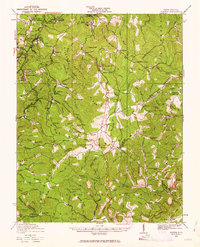
1929 Flattop
Raleigh County, WV
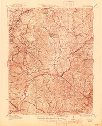
1932 Flattop
Raleigh County, WV
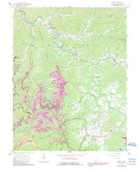
1964 Arnett
Raleigh County, WV
1968 Odd
Raleigh County, WV
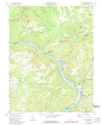
1969 Meadow Creek
Raleigh County, WV
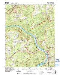
1996 Meadow Creek
Raleigh County, WV
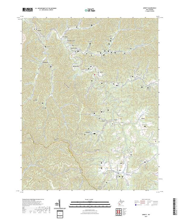
2023 Arnett
Raleigh County, WV
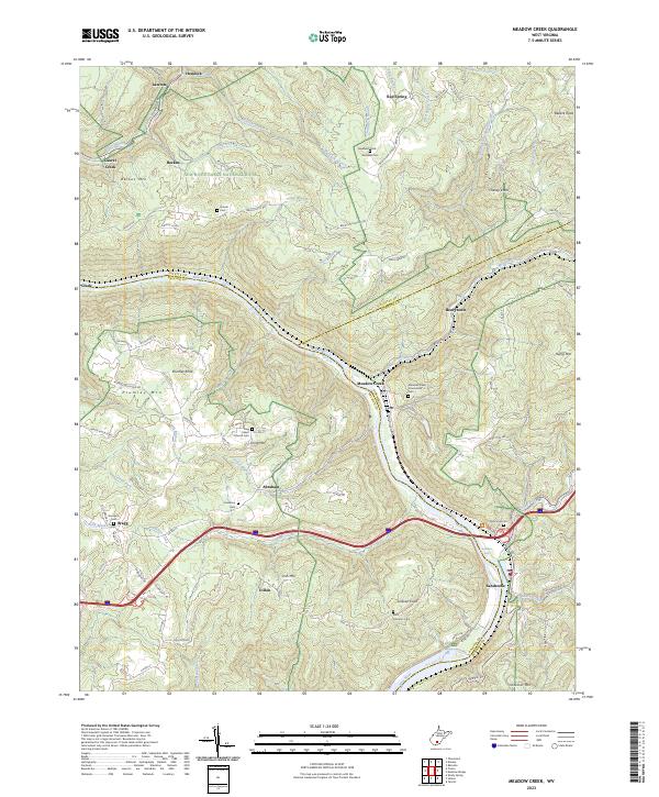
2023 Meadow Creek
Raleigh County, WV
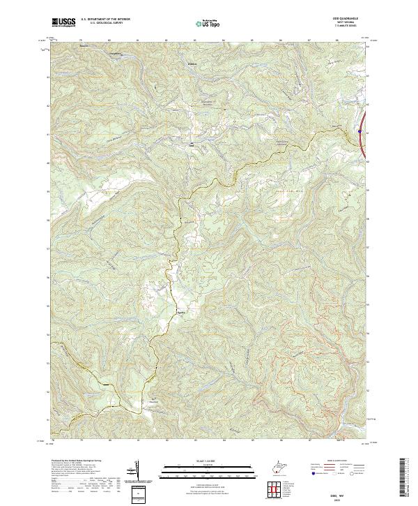
2023 Odd
Raleigh County, WV