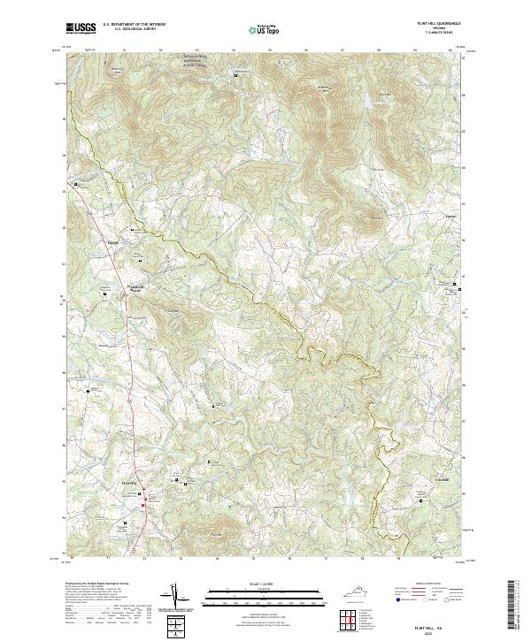
2022 Map of Flint Hill
USGS Topo · Published 2022About this map
The Rappahannock River serves as the primary boundary between Fauquier and Rappahannock counties, threading through a landscape of distinct peaks and hollows. This area is characterized by a high density of local genealogical landmarks, including family-named plots such as the Maddox Family Cem and the Christopher Salmon Gravesite. To the north, the Appalachian National Scenic Trail traverses the high ground near Ravensden Rock and Rattlesnake Mtn. The settlement pattern centers on small communities like Flint Hill, Huntly, and Hume, each connected by a network of rural routes such as Hume Rd and Jericho Rd. This modern survey reveals how traditional landholdings, like Wakefield Manor, persist alongside historical church sites like the Trough Hill Baptist Church Cem, illustrating the long-standing community structure of the Virginia Piedmont.
Find a feature on this map
107 named features on this map. Tap any name to fly to it.
Don’t see what you’re looking for? This feature index may not catch every label — zoom into the map to look around manually.
Map Details
Editions of this 2022 Flint Hill Map
This is the sole edition of this map. No revisions or reprints were ever made.
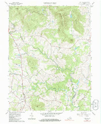
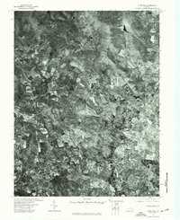
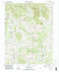
Historical Maps of Flint Hill Through Time
4 maps found