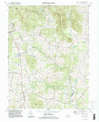
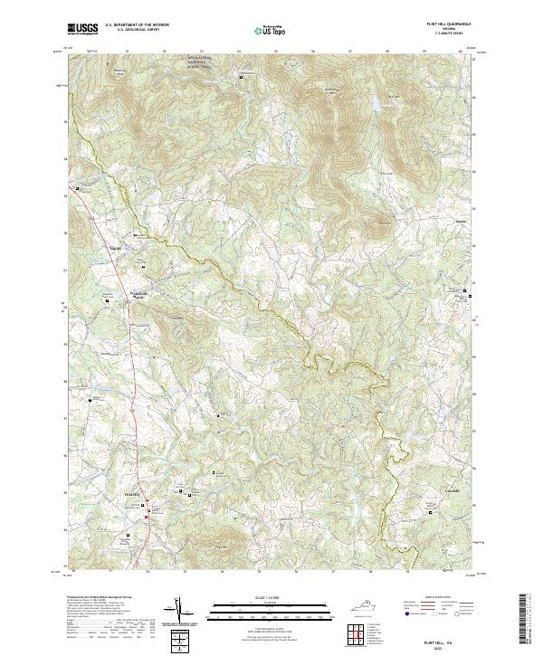
1994 Map of Flint Hill
USGS Topo · Published 1997About this map
The Rappahannock River defines the winding boundary between Rappahannock and Fauquier counties in this mid-1990s landscape. This rural Virginia Piedmont terrain is characterized by the convergence of several major watercourses, including the Jordan River and Hittles Mill Stream, which carve through narrow valleys between prominent peaks like Rattlesnake Mountain and Fogg Mtn.
Find a feature on this map
32 named features on this map. Tap any name to fly to it.
Don’t see what you’re looking for? This feature index may not catch every label — zoom into the map to look around manually.
Map Details
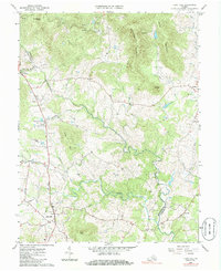
Editions of this 1994 Flint Hill Map
This is the sole edition of this map. No revisions or reprints were ever made.
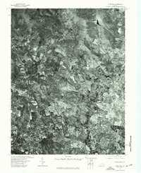
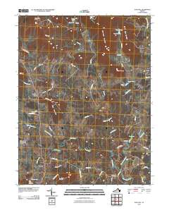
Historical Maps of Chester Gap Through Time
8 maps found
1966 Flint Hill
Rappahannock County, VA
1972 Flint Hill
Rappahannock County, VA
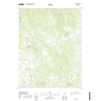
1994 Flint Hill
Rappahannock County, VA
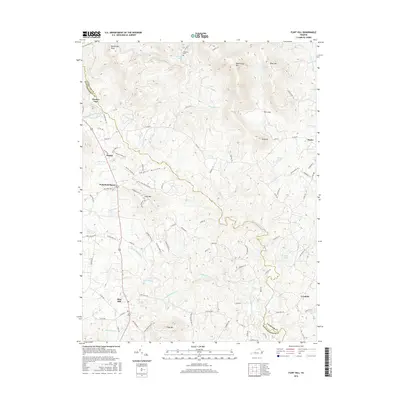
2010 Flint Hill
Rappahannock County, VA
2013 Flint Hill
Rappahannock County, VA
2016 Flint Hill
Rappahannock County, VA
2019 Flint Hill
Rappahannock County, VA
2022 Flint Hill
Rappahannock County, VA