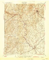
1894 Map of Warrenton
USGS Topo · Published 1897About this map
Warrenton stands as the central hub of this late 19th-century landscape, where several roads and the Richmond and Danville R. R. (Va. Midland Div.) converge. The topography is dominated by the northeast-trending ridges of the Bull Run Mountains and the Watery Mountains, creating a natural barrier that is pierced at the notable Thorofare Gap. The map illustrates a rural Piedmont economy tied closely to its water sources, including the Rappahannock River forming the southwestern boundary and Goose Creek to the north.
Find a feature on this map
108 named features on this map. Tap any name to fly to it.
Don’t see what you’re looking for? This feature index may not catch every label — zoom into the map to look around manually.
Map Details
Editions of this 1894 Warrenton Map
This is the sole edition of this map. No revisions or reprints were ever made.
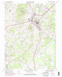
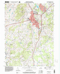
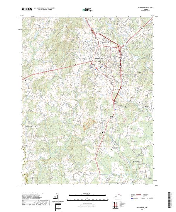
Historical Maps of Warrenton Through Time
6 maps found