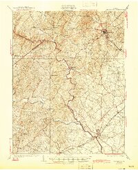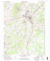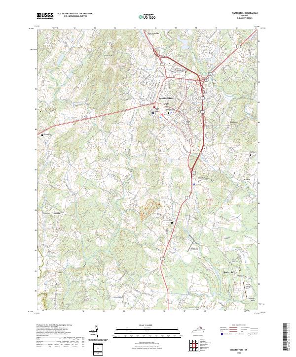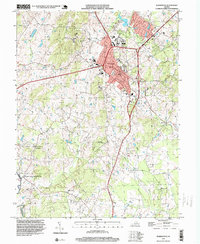
1994 Map of Warrenton
USGS Topo · Published 1999About this map
Warrenton serves as the central hub of this northern Virginia landscape, where mid-century topography meets imagery from the early 1990s. The town's expansion is evident around the Fauquier Hospital and local schools like Fauquier High Sch, yet the surrounding Fauquier County countryside retains its character through scattered settlements such as Fletcherville and Meetze. To the west, the terrain rises toward Viewtree Mtn, while the southwestern corner is anchored by the site of Fauquier White Sulphur Springs near the Rappahannock River. Local life is further detailed through landmarks like the Warrenton Air Park and the preserved woods of Whitney State Forest. The map also traces an intricate network of waterways, including Cedar Run, Licking Run, and Turkey Run, which carve through the rural reaches near Hurleyville and Turnbull, providing a clear record of the area's transition from traditional agricultural roots to a modern county seat.
Find a feature on this map
37 named features on this map. Tap any name to fly to it.
Don’t see what you’re looking for? This feature index may not catch every label — zoom into the map to look around manually.
Map Details
Editions of this 1994 Warrenton Map
This is the sole edition of this map. No revisions or reprints were ever made.
Historical Maps of Warrenton Through Time
6 maps found