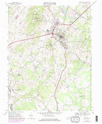
1966 Map of Warrenton
USGS Topo · Published 1978About this map
Warrenton serves as a focal point for the surrounding Piedmont landscape in the mid-1960s, showing a transition between established town life and the agricultural reaches of Fauquier County. The map details the educational and civic backbone of the area through landmarks like Taylor High Sch, Central Sch, and St Johns Sch, alongside localized settlements such as Fletcherville and Meetze. To the west, the Rappahannock River defines the county line near the historic Fauquier White Sulphur Springs, while the Southern railroad line cuts through the eastern terrain toward Frytown. The presence of the U S Military Res Warrenton Training Center northwest of town and the Whitney State Forest to the south highlights the diverse land use of the era, from government installations to preserved woodlands.
Find a feature on this map
44 named features on this map. Tap any name to fly to it.
Don’t see what you’re looking for? This feature index may not catch every label — zoom into the map to look around manually.
Map Details
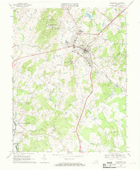
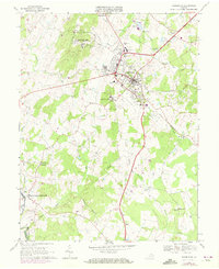
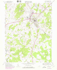
Editions of this 1966 Warrenton Map
4 editions found
Other maps of this area

1894 · Warrenton
USGS Topo · 1:125,000

1894 · Warrenton
USGS Topo · 1:62,500

1927 · Remington
USGS Topo · 1:48,000

1930 · Warrenton
USGS Topo · 1:62,500

1933 · Middleburg
USGS Topo · 1:62,500

1943 · Catlett
USGS Topo · 1:62,500

1943 · Thorofare Gap
USGS Topo · 1:24,000

1943 · Orlean
USGS Topo · 1:24,000

1943 · Midland
USGS Topo · 1:24,000

1943 · Marshall
USGS Topo · 1:24,000