Loading...
Loading map...2023 Map of Florida
USGS Topo · Published 2023About this map
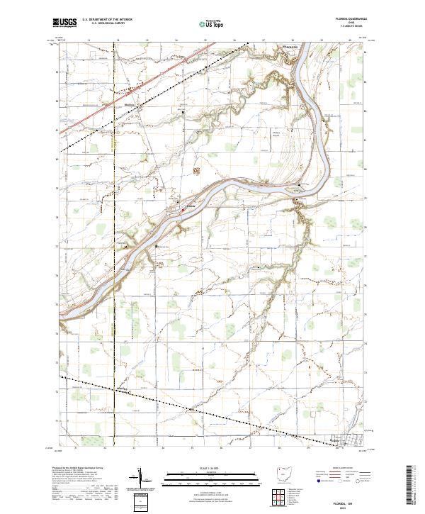
The Maumee River defines the landscape of this Henry County region, carving a path through the agricultural heartland of northwest Ohio. Along its banks, the North Country National Scenic Trl follows the river's curve past Sand Island and Girty Island. The settlement of Florida sits at a strategic bend in the river, serving as a focal point for local history along with the smaller rail-aligned communities of Standley and Holgate.
Find a feature on this map
56 named features on this map. Tap any name to fly to it.
Don’t see what you’re looking for? This feature index may not catch every label — zoom into the map to look around manually.
Map Details
Date Portrayed2023
Date Published2023
PublisherU.S. Geological Survey
Map TypeTopographic
Scale1:24000
Physical Dimensions24 x 29 inches
Editions of this 2023 Florida Map
This is the sole edition of this map. No revisions or reprints were ever made.
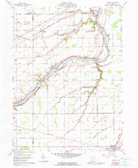
Historical Maps of Napoleon Through Time
Featured Locations
- Napoleon Township, OH
- Pleasant Township, OH
- Napoleon, OH
- Holgate, Pleasant Township
- Florida, Flatrock Township
Source Details
SourceU.S. Geological Survey
CopyrightPublic Domain