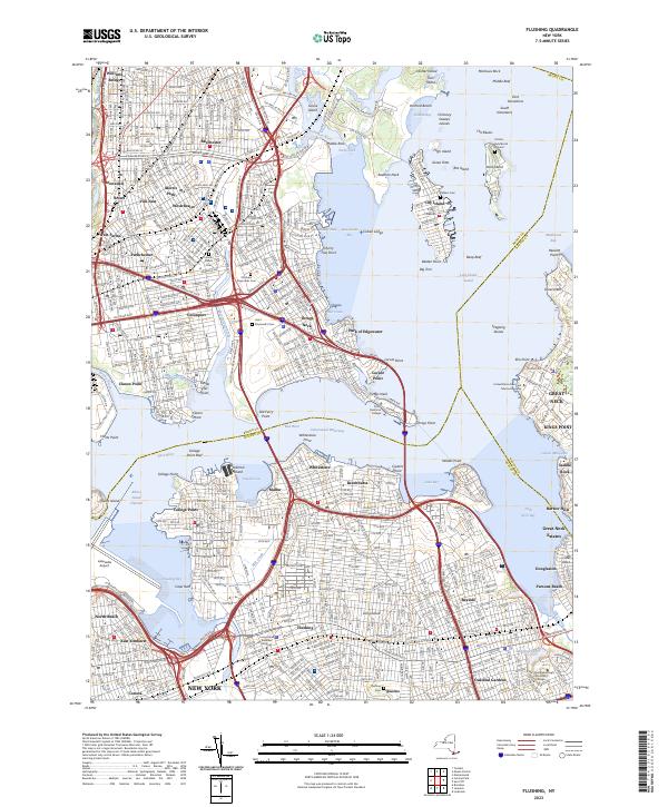
2023 Map of Flushing
USGS Topo · Published 2023About this map
Flushing and the northern waterfront of Queens anchor this modern survey, which details the complex interaction of dense urban neighborhoods and the Long Island Sound coastline. The map spans from Corona and East Elmhurst through the established residential grids of Whitestone and Bayside to the edge of Nassau County. Major maritime and aviation infrastructure is prominent, including LaGuardia Airport and the narrow Rikers Island Channel. To the north, the Bronx neighborhoods of Unionport and Westchester are linked to Queens by several massive highway interchanges. Of particular interest to researchers is Hart Island, site of the Potters Field Burial Ground, and the numerous smaller islands and reefs such as The Bluzes and Stepping Stones that have long posed navigational challenges at the approach to the East River. Institutional landmarks like SUNY Maritime College and the United States Merchant Marine Academy highlight the area's deep connection to the sea.
Find a feature on this map
106 named features on this map. Tap any name to fly to it.
Don’t see what you’re looking for? This feature index may not catch every label — zoom into the map to look around manually.
Map Details
Editions of this 2023 Flushing Map
This is the sole edition of this map. No revisions or reprints were ever made.
Other maps of this area

1889 · Brooklyn
USGS Topo · 1:62,500

1891 · Brooklyn
USGS Topo · 1:62,500

1891 · Harlem
USGS Topo · 1:62,500

1897 · Harlem
USGS Topo · 1:62,500

1897 · Brooklyn
USGS Topo · 1:62,500

1897 · Hempstead
USGS Topo · 1:62,500

1897 · Oyster Bay
USGS Topo · 1:62,500

1898 · Harlem
USGS Topo · 1:62,500

1898 · Hempstead
USGS Topo · 1:62,500

1898 · Brooklyn
USGS Topo · 1:62,500
Featured Places
- New York, NY
- North Hempstead, NY
- New Rochelle, NY
- Great Neck, North Hempstead
- Kings Point, North Hempstead