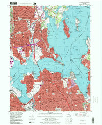
1995 Map of Flushing
USGS Topo · Published 1999About this map
The East River and Long Island Sound dominate this coastal survey, where the dense urban expansion of the late 20th century meets the historic waterfronts of the Bronx and Queens. The map captures a complex network of infrastructure, including the Whitestone Bridge and Throgs Neck Bridge, which serve as vital connectors for the surrounding neighborhoods of Whitestone, College Point, and Throgs Neck. Significant institutional presence is evident at the State Maritime College and the Fort Totten Mil Reservation, while Shea Stadium stands as a prominent landmark in Flushing Meadow Park.
Find a feature on this map
162 named features on this map. Tap any name to fly to it.
Don’t see what you’re looking for? This feature index may not catch every label — zoom into the map to look around manually.
Map Details
Editions of this 1995 Flushing Map
This is the sole edition of this map. No revisions or reprints were ever made.
Other maps of this area
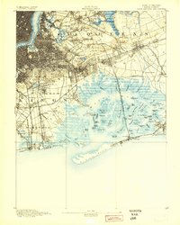
1889 · Brooklyn
USGS Topo · 1:62,500
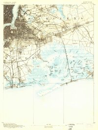
1891 · Brooklyn
USGS Topo · 1:62,500

1891 · Harlem
USGS Topo · 1:62,500

1897 · Harlem
USGS Topo · 1:62,500
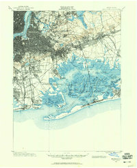
1897 · Brooklyn
USGS Topo · 1:62,500
1897 · Hempstead
USGS Topo · 1:62,500

1897 · Oyster Bay
USGS Topo · 1:62,500

1898 · Harlem
USGS Topo · 1:62,500
1898 · Hempstead
USGS Topo · 1:62,500
1898 · Brooklyn
USGS Topo · 1:62,500
Featured Places
- New York, NY
- North Hempstead, NY
- New Rochelle, NY
- Great Neck, North Hempstead
- Kings Point, North Hempstead