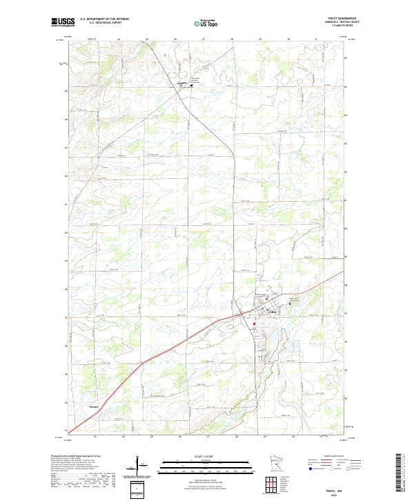
2022 Map of Foley
USGS Topo · Published 2022About this map
Foley serves as the regional hub for this Benton County landscape, where the Benton County Courthouse stands as a central landmark amidst a grid of well-defined local roads and highways. The area is characterized by a mix of agricultural tracts and water systems, including the winding course of Stony Brook and the Saint Francis River along the eastern edge. Small communities such as Gilman to the north and Parent to the southwest provide local anchors for the surrounding rural sections. Genealogists and local historians can locate several key burial sites, including Saint Johns Catholic Cem near the heart of town and Saint Peter and Paul Parish Cem further north. This modern survey reflects a landscape shaped by long-standing township boundaries and a developed transportation network including Co Hwy 13 and Co Hwy 3.
Find a feature on this map
68 named features on this map. Tap any name to fly to it.
Don’t see what you’re looking for? This feature index may not catch every label — zoom into the map to look around manually.
Map Details
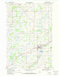
Editions of this 2022 Foley Map
This is the sole edition of this map. No revisions or reprints were ever made.
Historical Maps of Foley Through Time
Featured Locations
- Saint George Township, MN
- Alberta Township, MN
- Gilman, MN
- Gilmanton Township, MN
- Granite Ledge Township, MN