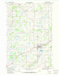
1968 Map of Foley
USGS Topo · Published 1988About this map
Foley serves as the central hub of this Benton County landscape, situated where the Great Northern rail line cuts across the prairie. The settlement pattern in the late 1960s reveals a mix of concentrated township centers and small outposts like Gilman, Jakeville, and Parent. The Granite Ledge in the northeast corner and scattered Gravel Pits point to the local geological and extractive industries that shaped the regional economy. Water management is a visible priority, with the Elk River and Stony Brook meandering through the townships of Alberta and Gilmanton, while modern infrastructure is represented by the Sewage Disposal Ponds near the city center. For genealogists, the map identifies specific community landmarks such as Foley Sch and St Johns Cem, providing a precise spatial context for mid-century local history.
Find a feature on this map
23 named features on this map. Tap any name to fly to it.
Don’t see what you’re looking for? This feature index may not catch every label — zoom into the map to look around manually.
Map Details
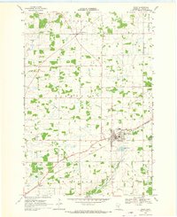
Editions of this 1968 Foley Map
2 editions found
Other maps of this area

1948 · Pierz
USGS Topo · 1:62,500

1950 · Pierz
USGS Topo · 1:62,500

1950 · St. Cloud
USGS Topo · 1:62,500

1953 · Saint Cloud
USGS Topo · 1:250,000

1953 · Stillwater
USGS Topo · 1:250,000

1955 · Stillwater
USGS Topo · 1:250,000

1957 · Saint Cloud
USGS Topo · 1:250,000

1958 · Stillwater
USGS Topo · 1:250,000

1958 · Saint Cloud
USGS Topo · 1:250,000

1965 · Stillwater
USGS Topo · 1:250,000