
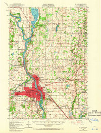
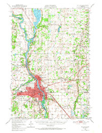
1950 Map of St. Cloud
USGS Topo · Published 1952About this map
The Mississippi River serves as the central artery for this mid-century look at central Minnesota, dividing the growing city of St Cloud from its neighboring industrial and residential suburbs. The landscape is heavily marked by the institutional footprints of the Veterans Hospital, the Orphanage, and the State Reformatory, reflecting the regional significance of the area. Education and community life are grounded in the State Teachers College and a dense network of numbered country schools like School No 29 and School No 54 that dot the surrounding townships.
Find a feature on this map
73 named features on this map. Tap any name to fly to it.
Don’t see what you’re looking for? This feature index may not catch every label — zoom into the map to look around manually.
Map Details
Editions of this 1950 St. Cloud Map
3 editions found
Other maps of this area

1948 · Pierz
USGS Topo · 1:62,500

1948 · Little Falls
USGS Topo · 1:62,500

1950 · Little Falls
USGS Topo · 1:62,500

1950 · Pierz
USGS Topo · 1:62,500

1951 · Annandale
USGS Topo · 1:62,500

1953 · Saint Cloud
USGS Topo · 1:250,000

1953 · Stillwater
USGS Topo · 1:250,000

1955 · Stillwater
USGS Topo · 1:250,000

1957 · Saint Cloud
USGS Topo · 1:250,000

1958 · Stillwater
USGS Topo · 1:250,000