
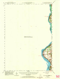
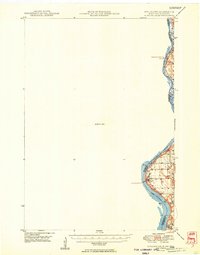
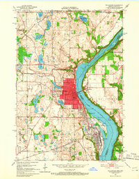
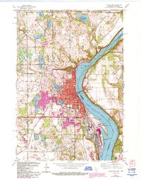
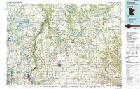
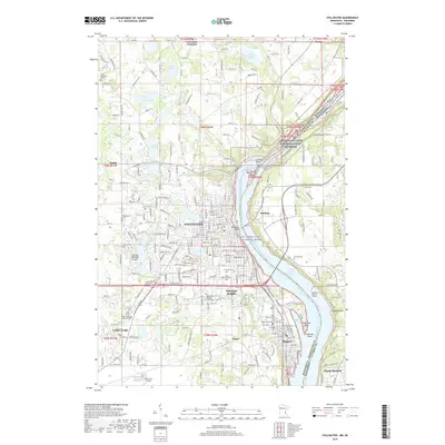
1953 Map of Stillwater
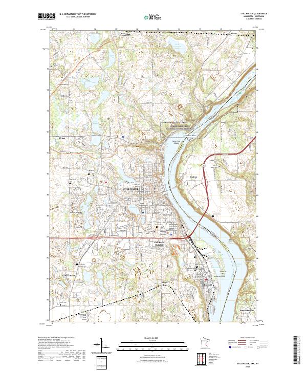
USGS Topo · Published 1980About this map
The St Croix River serves as the central artery and natural boundary between Minnesota and Wisconsin in this mid-century portrait of the region. To the southwest, the burgeoning urban centers of Minneapolis and St Paul are depicted at a time of rapid suburban expansion, with early interstate routes like Interstate 94 and Interstate 35 beginning to redefine the landscape around Roseville and Brooklyn Park. The map captures a high density of rail infrastructure including the Great Northern Railway and the Soo Line Railroad, which historically supported the timber and milling industries that founded river towns like Stillwater. Northward, the terrain transitions into significant protected lands such as St Croix State Park and the Chengwatana State Forest, where the Snake River and Kettle River feed into the primary valley, illustrating the balance between mid-century development and wilderness preservation.
Find a feature on this map
265 named features on this map. Tap any name to fly to it.
Don’t see what you’re looking for? This feature index may not catch every label — zoom into the map to look around manually.
Map Details
Editions of this 1953 Stillwater Map
This is the sole edition of this map. No revisions or reprints were ever made.
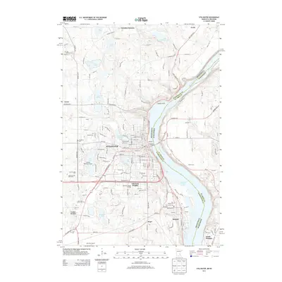
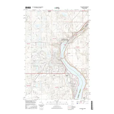
Historical Maps of Minneapolis Through Time
15 maps found
1948 Stillwater
Washington County, MN
1949 Stillwater
Washington County, MN
1951 Stillwater
Washington County, MN
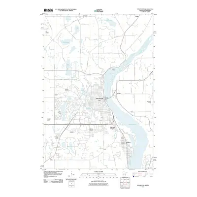
1953 Stillwater
Washington County, MN

1955 Stillwater
Washington County, MN

1958 Stillwater
Washington County, MN

1965 Stillwater
Washington County, MN
1967 Stillwater
Washington County, MN

1975 Stillwater
Washington County, MN
1985 Stillwater
Washington County, MN
2010 Stillwater
Washington County, MN
2013 Stillwater
Washington County, MN
2016 Stillwater
Washington County, MN
2019 Stillwater
Washington County, MN
2022 Stillwater
Washington County, MN