
1907 Map of Minnetonka
USGS Topo · Published 1907About this map
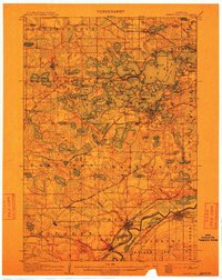
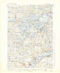
Lake Minnetonka's intricate shoreline and archipelago define this 1905 survey, captured when the region was a bustling hub of summer travel and lakefront commerce. The map meticulously traces a Steamboat Route weaving through Maxwell Bay, Crystal Bay, and Gideon Bay, connecting early lakeside communities. Rail infrastructure was at its peak during this era, with the Great Northern R R and Northern Pacific R R providing access to seasonal destinations like Minnetonka Beach and Cottagewood.
Find a feature on this map
154 named features on this map. Tap any name to fly to it.
Don’t see what you’re looking for? This feature index may not catch every label — zoom into the map to look around manually.
Map Details
Editions of this 1907 Minnetonka Map
3 editions found
Other maps of this area

1896 · Minneapolis
USGS Topo · 1:62,500

1901 · Minneapolis
USGS Topo · 1:62,500

1902 · Anoka
USGS Topo · 1:62,500

1905 · Minnetonka
USGS Topo · 1:62,500

1909 · Rockford
USGS Topo · 1:62,500

1953 · Saint Paul
USGS Topo · 1:250,000

1953 · Stillwater
USGS Topo · 1:250,000

1954 · Hopkins
USGS Topo · 1:24,000

1954 · Eden Prairie
USGS Topo · 1:24,000

1954 · Minneapolis
USGS Topo · 1:62,500