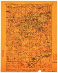
1907 Map of Minnetonka
USGS Topo · Published 1912About this map
Minnetonka's intricate shoreline and islands dominate this early twentieth-century landscape, revealing a thriving lakeside economy of steamboat routes and summer retreats. The Steamboat Route weaves between Big Island, Enchanted Island, and the shores of Excelsior, while an Electric RR provides transit for residents and visitors. To the south, the valley of the Minnesota River anchors industrial and agricultural hubs like Chaska and Shakopee, where multiple rail lines including the Chicago St Paul Minneapolis and Omaha RR converge. The survey details a transition from the resort-heavy atmosphere of Wayzata Bay to the emerging agricultural settlements of Laketown and Dahlgren. Researchers can trace the early footprints of Mound and Chanhassen before the sprawling suburbanization of the late century transformed the Hennepin and Carver county borderlands.
Find a feature on this map
151 named features on this map. Tap any name to fly to it.
Don’t see what you’re looking for? This feature index may not catch every label — zoom into the map to look around manually.
Map Details
Editions of this 1907 Minnetonka Map
3 editions found
Other maps of this area

1896 · Minneapolis
USGS Topo · 1:62,500

1901 · Minneapolis
USGS Topo · 1:62,500

1902 · Anoka
USGS Topo · 1:62,500

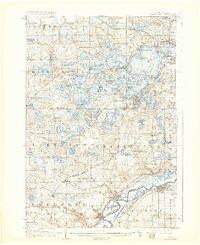
1905 · Minnetonka
USGS Topo · 1:62,500

1907 · Minnetonka
USGS Topo · 1:62,500

1909 · Rockford
USGS Topo · 1:62,500

1953 · Saint Paul
USGS Topo · 1:250,000

1953 · Stillwater
USGS Topo · 1:250,000
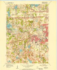
1954 · Hopkins
USGS Topo · 1:24,000
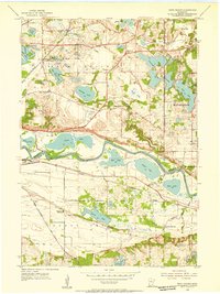
1954 · Eden Prairie
USGS Topo · 1:24,000