
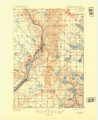
1901 Map of St Croix Dalles
USGS Topo · Published 1901About this map
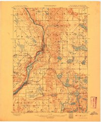
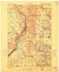
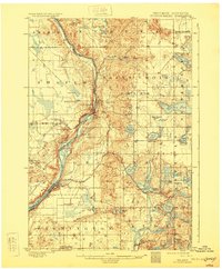
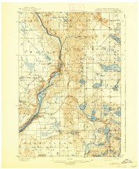
The ST. Croix River serves as the dominant geographical and political boundary here, separating Chisago County, Minnesota, from Polk County, Wisconsin. In this turn-of-the-century landscape, the industrial and transport focus centers on the twin settlements of Taylors Falls and St. Croix Falls, where the river’s elevation drop provided a natural focal point for development. The intricate network of the St. Paul and Duluth R. R. and the St. Paul Minneapolis and Sault Ste. Marie R. R. underscores the importance of rail transit in connecting these river towns to broader markets. Beyond the river banks, the terrain is characterized by a high density of glacial lakes, including Big Lake, Deer Lake, and Sand Lake, which shaped the early agricultural and community layout of townships like Osceola and Farmington. Smaller vanished stops and junctions, such as Dresser Junction and Franconia Station, provide specific points of interest for those tracing the evolution of early regional commerce.
Find a feature on this map
73 named features on this map. Tap any name to fly to it.
Don’t see what you’re looking for? This feature index may not catch every label — zoom into the map to look around manually.
Map Details
Editions of this 1901 St Croix Dalles Map
6 editions found
Other maps of this area

1900 · St Croix Dalles
USGS Topo · 1:62,500

1948 · New Richmond
USGS Topo · 1:62,500

1948 · Stillwater
USGS Topo · 1:62,500

1949 · New Richmond
USGS Topo · 1:62,500

1949 · Stillwater
USGS Topo · 1:62,500

1950 · Rush City
USGS Topo · 1:48,000

1950 · Deer Park
USGS Topo · 1:62,500

1950 · Balsam Lake
USGS Topo · 1:62,500

1951 · Milltown
USGS Topo · 1:48,000

1951 · Frederic
USGS Topo · 1:48,000