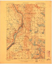
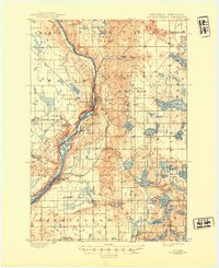
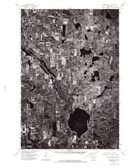
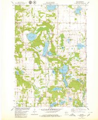
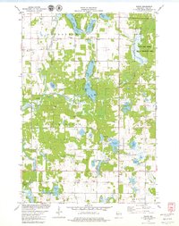
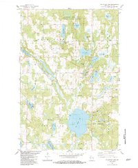
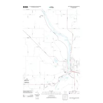
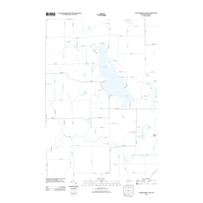
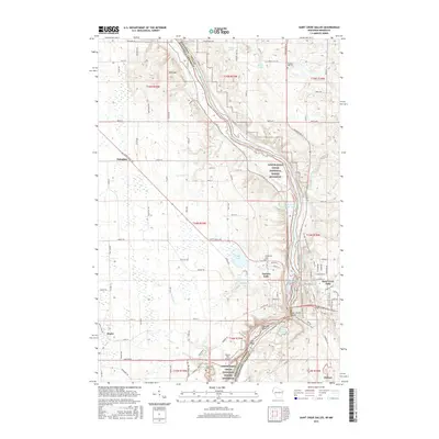
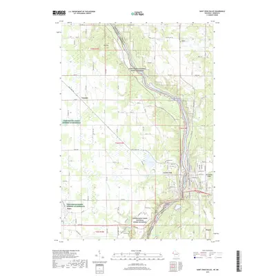
1901 Map of St Croix Dalles
USGS Topo · Published 1908About this map
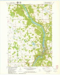
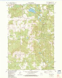
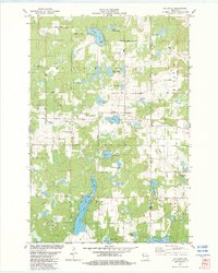
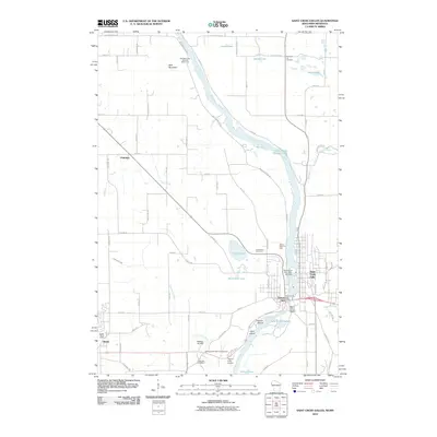
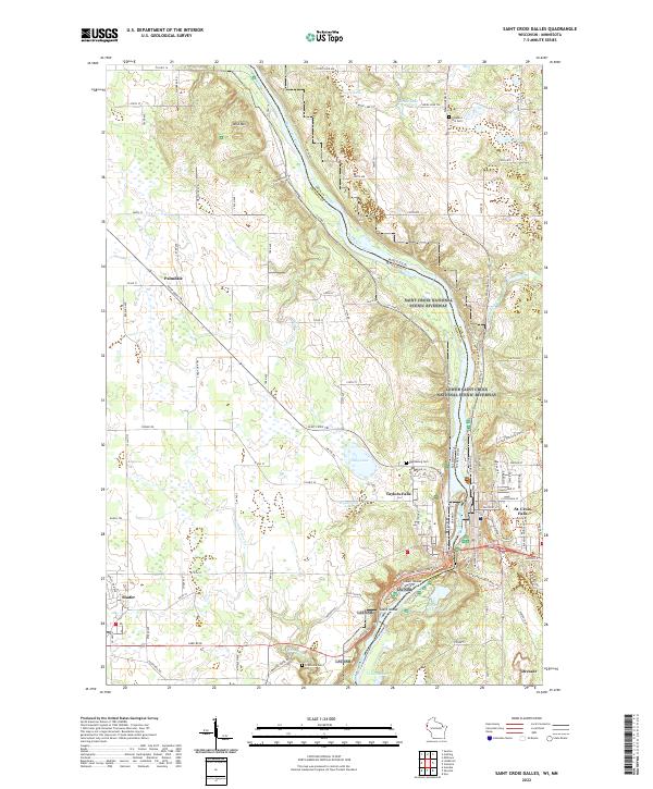
The St. Croix River carves a deep valley through this borderland between Wisconsin and Minnesota, serving as the central axis for early rail expansion and settlement in the late 19th century. Twin towns Taylors Falls and St. Croix Falls sit at a critical bottleneck of the river, where the St. Paul and Duluth R. R. and the Minneapolis St. Paul and Sault Ste. Marie R. R. converge to navigate the steep terrain.
Find a feature on this map
72 named features on this map. Tap any name to fly to it.
Don’t see what you’re looking for? This feature index may not catch every label — zoom into the map to look around manually.
Map Details
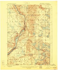
Editions of this 1901 St Croix Dalles Map
6 editions found

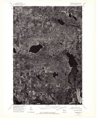
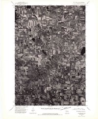
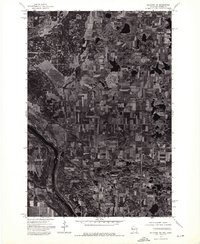
Historical Maps of Osceola Through Time
69 maps found

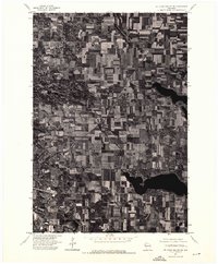
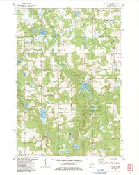
1900 St Croix Dalles
Polk County, WI
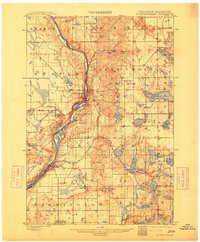
1901 St Croix Dalles
Polk County, WI
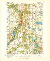
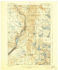
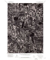
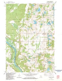
1955 St. Croix Dalles
Polk County, WI
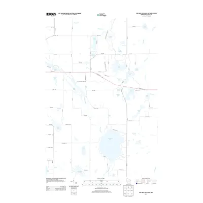
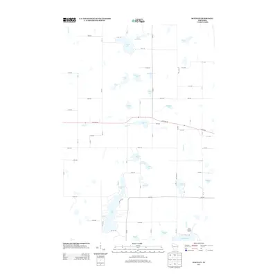
1974 Balsam Lake NE
Polk County, WI
1974 Balsam Lake NW
Polk County, WI
1974 Balsam Lake SE
Polk County, WI
1974 Balsam Lake SW
Polk County, WI
1974 Frederic NE
Polk County, WI
1974 Frederic NW
Polk County, WI
1974 Frederic SE
Polk County, WI
1974 Frederic SW
Polk County, WI
1974 Milltown SE
Polk County, WI
1974 Milltown SW
Polk County, WI
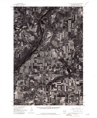
1974 St. Croix Dalles NE
Polk County, WI
1974 St. Croix Dalles SE
Polk County, WI
1974 St. Croix Dalles SW
Polk County, WI
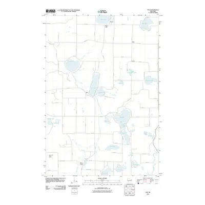
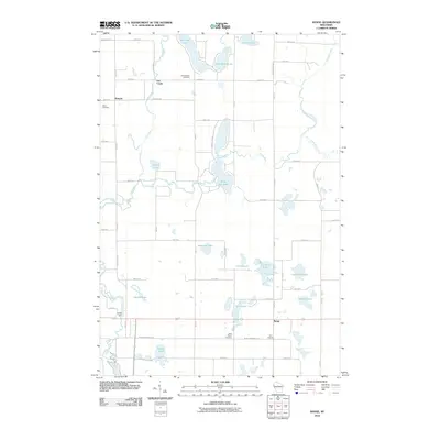
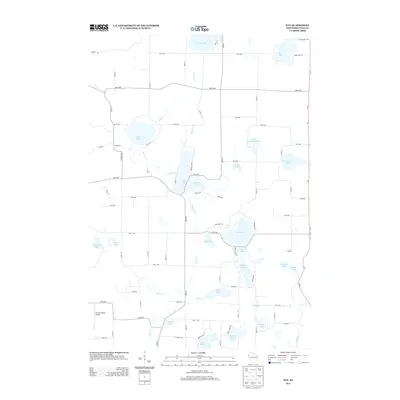
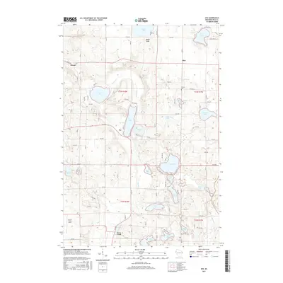
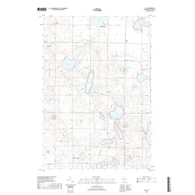
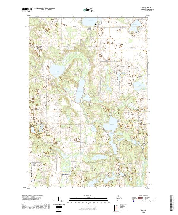
1978 Nye
Polk County, WI
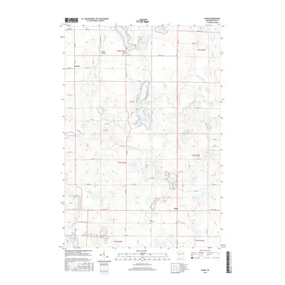
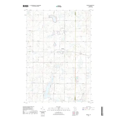
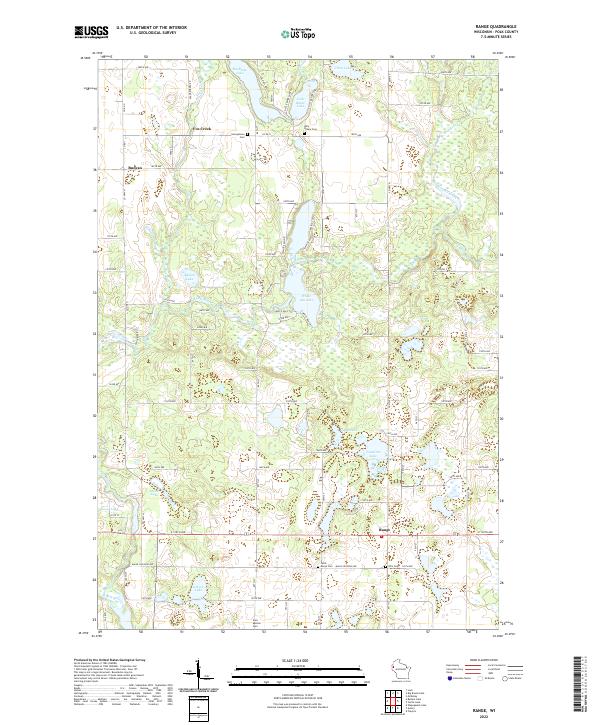
1978 Range
Polk County, WI
1978 St. Croix Dalles
Polk County, WI
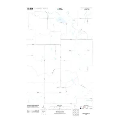
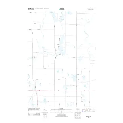
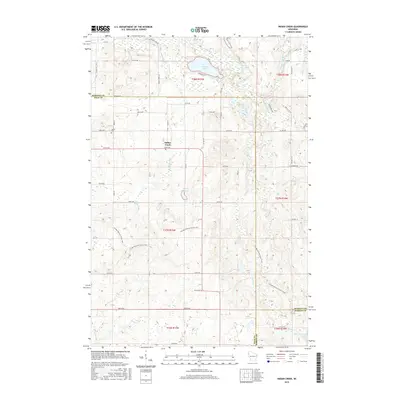
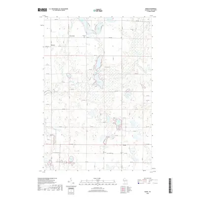
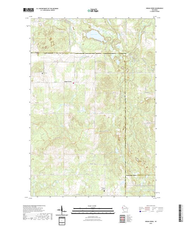
1982 Indian Creek
Polk County, WI
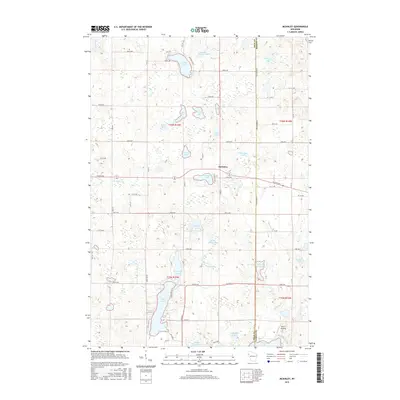
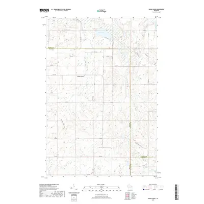
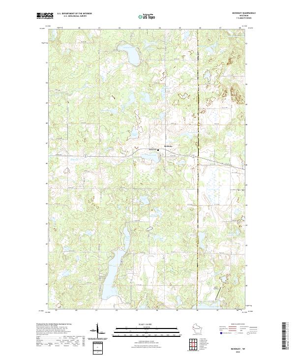
1982 Mc Kinley
Polk County, WI
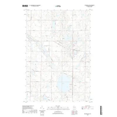
1983 Big Round Lake
Polk County, WI
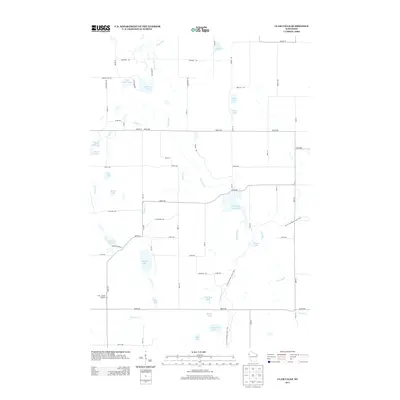
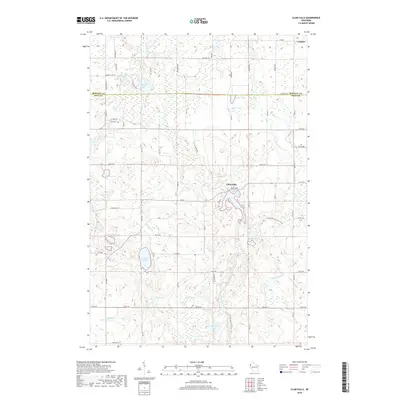
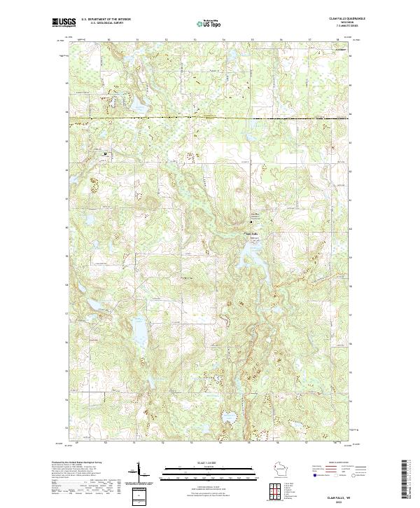
1983 Clam Falls
Polk County, WI
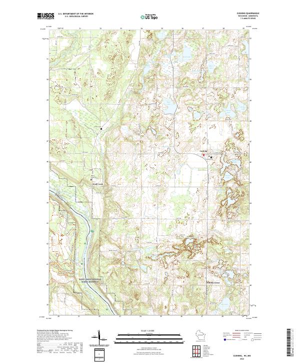
1983 Cushing
Polk County, WI
2010 Big Round Lake
Polk County, WI
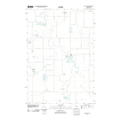
2010 Clam Falls
Polk County, WI
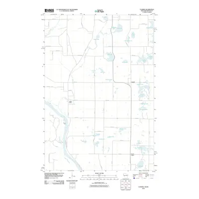
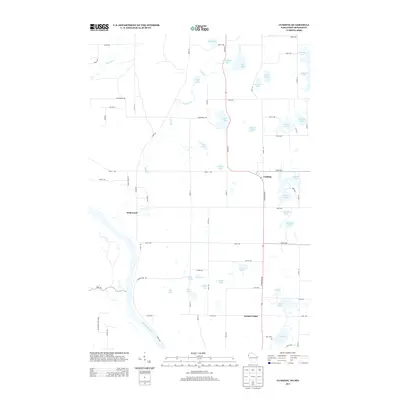
2010 Cushing
Polk County, WI
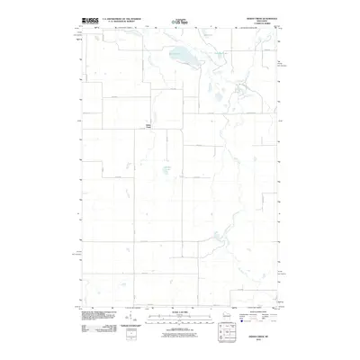
2010 Indian Creek
Polk County, WI
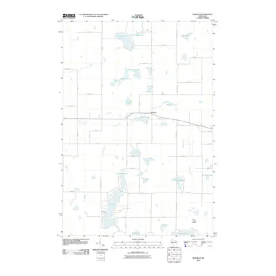
2010 McKinley
Polk County, WI
2010 Nye
Polk County, WI
2010 Range
Polk County, WI
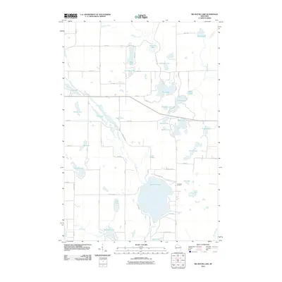
2010 Saint Croix Dalles
Polk County, WI
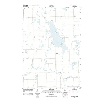
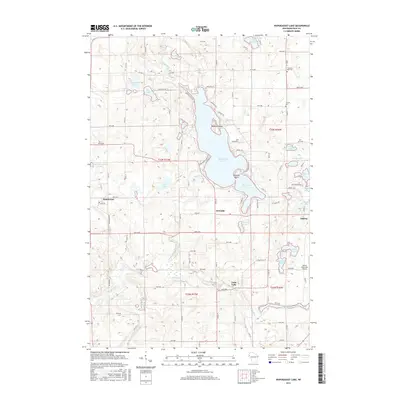
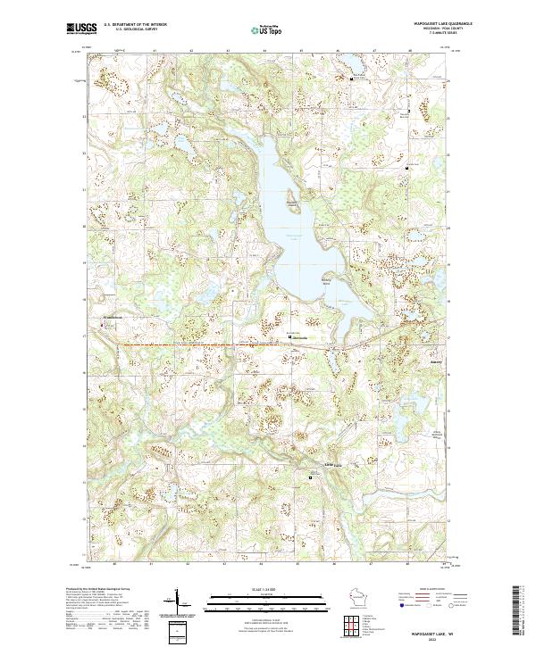
2010 Wapogasset Lake
Polk County, WI
2013 Big Round Lake
Polk County, WI
2013 Clam Falls
Polk County, WI
2013 Cushing
Polk County, WI
2013 Indian Creek
Polk County, WI
2013 McKinley
Polk County, WI
2013 Nye
Polk County, WI
2013 Range
Polk County, WI
2013 Saint Croix Dalles
Polk County, WI
2013 Wapogasset Lake
Polk County, WI
2015 Big Round Lake
Polk County, WI
2015 Clam Falls
Polk County, WI
2015 Cushing
Polk County, WI
2015 Indian Creek
Polk County, WI
2015 McKinley
Polk County, WI
2015 Nye
Polk County, WI
2015 Range
Polk County, WI
2015 Saint Croix Dalles
Polk County, WI
2015 Wapogasset Lake
Polk County, WI
2018 Big Round Lake
Polk County, WI
2018 Clam Falls
Polk County, WI
2018 Indian Creek
Polk County, WI
2018 McKinley
Polk County, WI
2018 Nye
Polk County, WI
2018 Range
Polk County, WI
2018 Wapogasset Lake
Polk County, WI
2019 Cushing
Polk County, WI
2019 Saint Croix Dalles
Polk County, WI
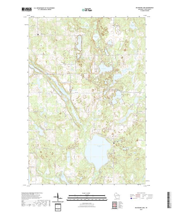
2022 Big Round Lake
Polk County, WI
2022 Clam Falls
Polk County, WI
2022 Cushing
Polk County, WI
2022 Indian Creek
Polk County, WI
2022 McKinley
Polk County, WI
2022 Nye
Polk County, WI
2022 Range
Polk County, WI
2022 Saint Croix Dalles
Polk County, WI
2022 Wapogasset Lake
Polk County, WI
Featured Locations
- Taylors Falls, MN
- Osceola, WI
- Franconia, Franconia Township
- Town of Osceola, Osceola
- Town of Farmington, Farmington