
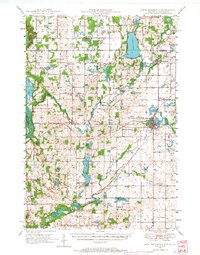
1948 Map of New Richmond
USGS Topo · Published 1957About this map
New Richmond serves as the primary hub of this landscape, where the Chicago and North Western rail line and the Minneapolis St Paul and Sault Ste Marie corridor intersect. The 1940s terrain is defined by the winding courses of the Apple River and Willow River, which supported numerous local mills and settlements like Star Prairie and Burkhardt. A dense network of rural schoolhouses, such as Lonesome Trail Sch and Oak Knoll Sch, suggests a well-distributed farming population before the consolidation of mid-century districts.
Find a feature on this map
72 named features on this map. Tap any name to fly to it.
Don’t see what you’re looking for? This feature index may not catch every label — zoom into the map to look around manually.
Map Details
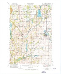
Editions of this 1948 New Richmond Map
3 editions found
Other maps of this area

1900 · St Croix Dalles
USGS Topo · 1:62,500

1901 · St Croix Dalles
USGS Topo · 1:62,500

1946 · Hudson
USGS Topo · 1:62,500

1946 · River Falls
USGS Topo · 1:62,500

1948 · Stillwater
USGS Topo · 1:62,500

1949 · New Richmond
USGS Topo · 1:62,500

1949 · River Falls
USGS Topo · 1:62,500

1949 · Hudson
USGS Topo · 1:62,500

1949 · Baldwin
USGS Topo · 1:62,500

1949 · Stillwater
USGS Topo · 1:62,500