
1950 Map of Balsam Lake
USGS Topo · Published 1952About this map
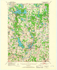
The Apple River flows south through this lake-studded region of Polk County, powering the landscape at a dedicated Power Plant while the Minneapolis St Paul and Sault Ste Marie railroad connects the agricultural hubs. At the heart of the map, the village of Balsam Lake sits adjacent to its namesake water body, featuring Hickory Point and several islands including Paradise I and Bear I. The settlement pattern reflects a mid-century rural economy, with small crossroads and townships like Georgetown and Garfield supporting a dense network of country schools such as Maple Grove Sch and Shiloh Sch. To the south, the city of Amery serves as a significant rail and aviation center, home to the Amery Airport and the East Lincoln Sch. The map documents numerous community anchors, from the Lutheran Bible Camp on the shores of Wapogasset Lake to the Holy Rosary Ch and Balsam Lake Cem.
Find a feature on this map
120 named features on this map. Tap any name to fly to it.
Don’t see what you’re looking for? This feature index may not catch every label — zoom into the map to look around manually.
Map Details
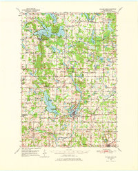
Editions of this 1950 Balsam Lake Map
3 editions found
Other maps of this area

1900 · St Croix Dalles
USGS Topo · 1:62,500

1901 · St Croix Dalles
USGS Topo · 1:62,500

1948 · New Richmond
USGS Topo · 1:62,500

1948 · Downing
USGS Topo · 1:62,500

1949 · New Richmond
USGS Topo · 1:62,500

1950 · Downing
USGS Topo · 1:62,500

1950 · Deer Park
USGS Topo · 1:62,500

1950 · Turtle Lake
USGS Topo · 1:62,500

1951 · Cumberland
USGS Topo · 1:48,000

1951 · Milltown
USGS Topo · 1:48,000