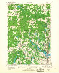
1951 Map of Cumberland
USGS Topo · Published 1951About this map
Cumberland anchors the southeast corner of this landscape, situated between Beaverdam Lake and Granite Lake just as post-war settlement patterns were firmly established. The surrounding terrain is a complex network of glacial hydrology, dominated by the Clam River and its North and South forks. This 1951 edition reveals a rural infrastructure defined by a high density of local institutions, including the Roosevelt Sch, Shady Dell Sch, and the McKinley Sch, which served the scattered farming communities of Roosevelt and Maple Plain townships.
Find a feature on this map
92 named features on this map. Tap any name to fly to it.
Don’t see what you’re looking for? This feature index may not catch every label — zoom into the map to look around manually.
Map Details
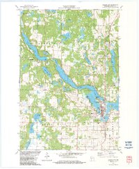
Editions of this 1951 Cumberland Map
This is the sole edition of this map. No revisions or reprints were ever made.
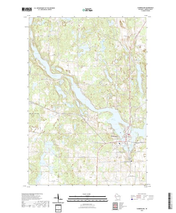
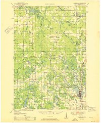
Historical Maps of Cumberland Through Time
4 maps found