Loading...
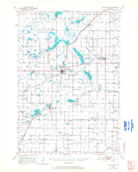
Loading map...1950 Map of Turtle Lake
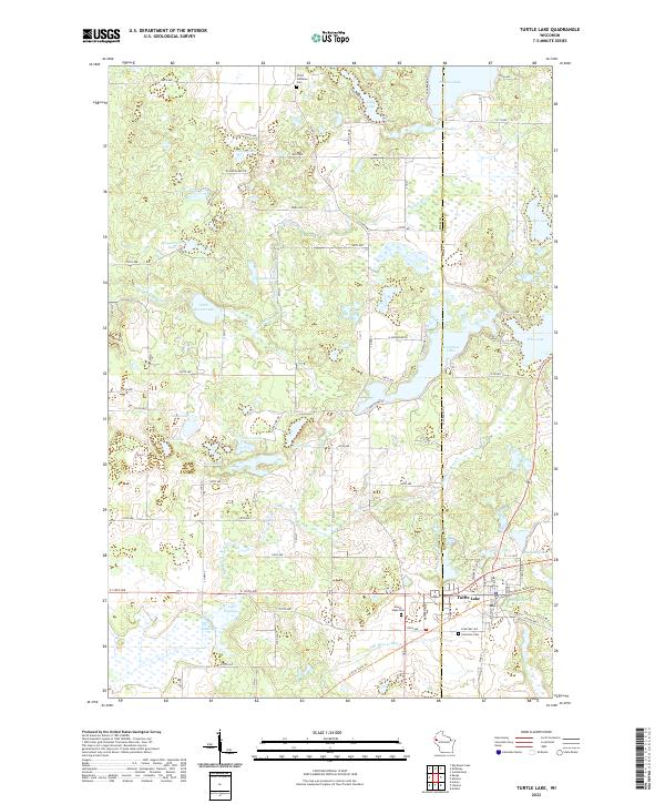
USGS Topo · Published 1968About this map
Turtle Lake and Almena serve as the primary hubs in this western Wisconsin landscape, where the Chicago and North Western and Minneapolis St Paul and Sault Ste Marie railroads intersect. This 1950 field check reveals a region defined by its glacial hydrology, with a dense concentration of water bodies including Upper Turtle Lake, Lower Turtle Lake, Horseshoe Lake, and the expansive Pipe Lake to the northwest.
Find a feature on this map
89 named features on this map. Tap any name to fly to it.
Don’t see what you’re looking for? This feature index may not catch every label — zoom into the map to look around manually.
Map Details
Date Portrayed1950
Date Published1968
PublisherU.S. Geological Survey
Map TypeTopographic
Scale1:62,500
Physical Dimensions17 x 21.2 inches
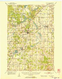
Editions of this 1950 Turtle Lake Map
This is the sole edition of this map. No revisions or reprints were ever made.
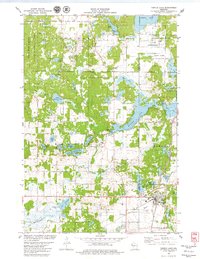
Historical Maps of Clear Lake Through Time
4 maps found
Featured Locations
Source Details
SourceU.S. Geological Survey
CopyrightPublic Domain