Loading...
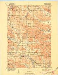
Loading map...1951 Map of Ridgeland
USGS Topo · Published 1951About this map
Ridgeland sits at the heart of this agricultural landscape in the early 1950s, serving as a hub for the surrounding townships of Sheridan, Wilson, and Dallas. The topography is defined by the winding course of the Hay River, which flows southward toward the Wheeler settlement. This village functions as a critical rail link where the Minneapolis St Paul and Sault Ste Marie railroad follows the river valley.
Find a feature on this map
60 named features on this map. Tap any name to fly to it.
Don’t see what you’re looking for? This feature index may not catch every label — zoom into the map to look around manually.
Map Details
Date Portrayed1951
Date Published1951
PublisherU.S. Geological Survey
Map TypeTopographic
Scale1:62,500
Physical Dimensions16.56 x 21.13 inches
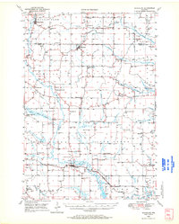
Editions of this 1951 Ridgeland Map
This is the sole edition of this map. No revisions or reprints were ever made.
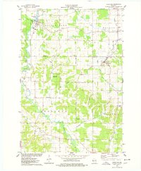
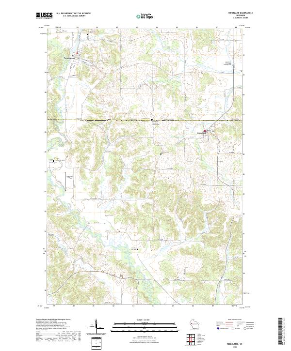
Historical Maps of Tainter Through Time
4 maps found
Featured Locations
Source Details
SourceU.S. Geological Survey
CopyrightPublic Domain