
Loading...
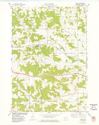
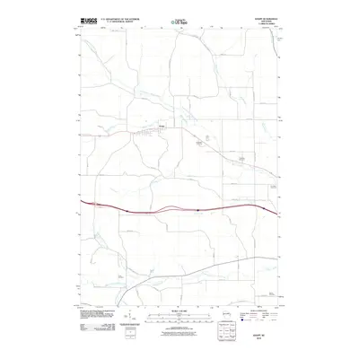
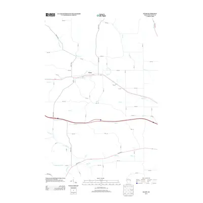
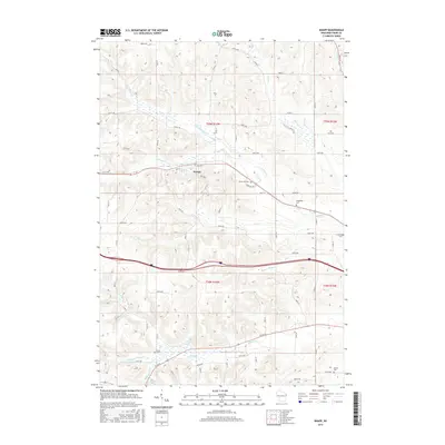
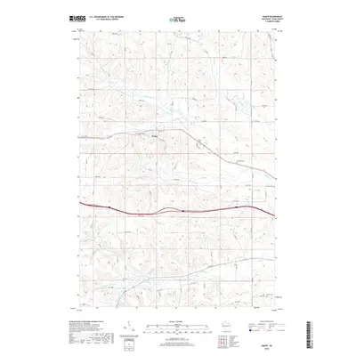
Loading map...1949 Map of Knapp
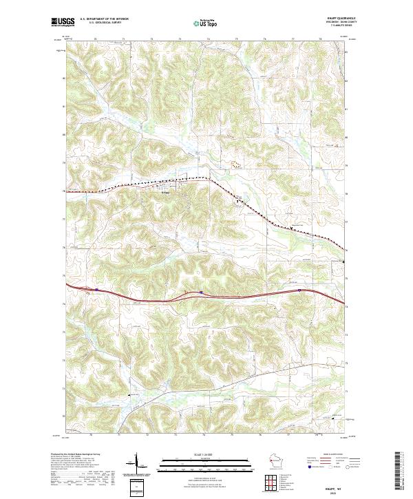
USGS Topo · Published 1949About this map
The Eau Galle River corridor and its surrounding uplands define this mid-century view of the borderlands between St. Croix and Pierce counties. In the post-war years, the landscape was a dense network of rural school districts and community churches serving small dairy farms and villages. The Chicago and North Western railroad cuts across the northern terrain, connecting the settlements of Hersey, Wilson, and Knapp.
Find a feature on this map
73 named features on this map. Tap any name to fly to it.
Don’t see what you’re looking for? This feature index may not catch every label — zoom into the map to look around manually.
Map Details
Date Portrayed1949
Date Published1949
PublisherU.S. Geological Survey
Map TypeTopographic
Scale1:62,500
Physical Dimensions17.13 x 21.33 inches
Editions of this 1949 Knapp Map
This is the sole edition of this map. No revisions or reprints were ever made.
Historical Maps of Spring Valley Through Time
8 maps found

Featured Locations
Source Details
SourceU.S. Geological Survey
CopyrightPublic Domain