
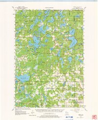
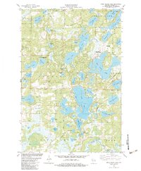
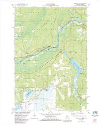
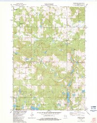
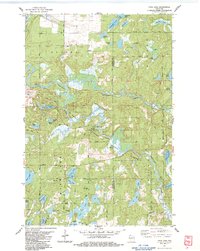
1949 Map of Hertel
USGS Topo · Published 1949About this map
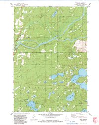
Glacial lakes and rural schoolhouses define this corner of the Wisconsin Northwoods just after the war. The unincorporated settlement of Hertel serves as a central hub, situated along State Highway No 70 amidst a dense network of water bodies including Des Moines Lake, Loon Lake, and the expansive Lower McKenzie Lake. The landscape is a mix of wetlands and timbered tracts, punctuated by landmarks of early community life like Sacred Heart Ch and Evangelical Ch.
Find a feature on this map
102 named features on this map. Tap any name to fly to it.
Don’t see what you’re looking for? This feature index may not catch every label — zoom into the map to look around manually.
Map Details
Editions of this 1949 Hertel Map
This is the sole edition of this map. No revisions or reprints were ever made.
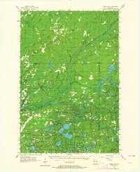
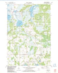
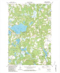
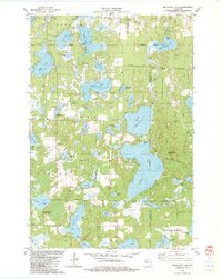
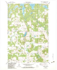
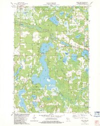
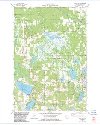
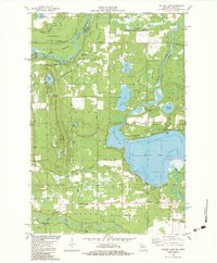
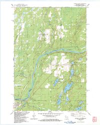
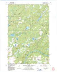
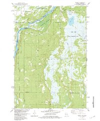
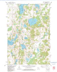
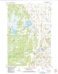
Historical Maps of Webb Lake Through Time
40 maps found
1949 Hertel
Burnett County, WI

1949 Webb Lake
Burnett County, WI
1955 Hertel
Burnett County, WI
1955 Webb Lake
Burnett County, WI
1974 Milltown NE
Burnett County, WI
1974 Milltown NW
Burnett County, WI
1982 Birch Island Lake
Burnett County, WI
1982 Falun
Burnett County, WI
1982 Hertel
Burnett County, WI
1982 Mc Kenzie Lake
Burnett County, WI
1982 Monson Lake
Burnett County, WI
1982 Poquettes Lake
Burnett County, WI
1982 Siren East
Burnett County, WI
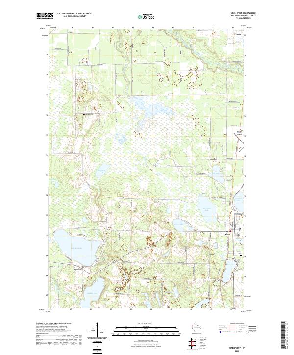
1982 Siren West
Burnett County, WI
1982 Timberland
Burnett County, WI
1982 Yellow Lake
Burnett County, WI
1983 Danbury East
Burnett County, WI
1983 Danbury West
Burnett County, WI
1983 Frog Lake
Burnett County, WI
1983 Randall
Burnett County, WI
1983 Trade Lake
Burnett County, WI
1983 Trade River
Burnett County, WI
1983 Webb Lake
Burnett County, WI
2022 Birch Island Lake
Burnett County, WI
2022 Danbury East
Burnett County, WI
2022 Danbury West
Burnett County, WI
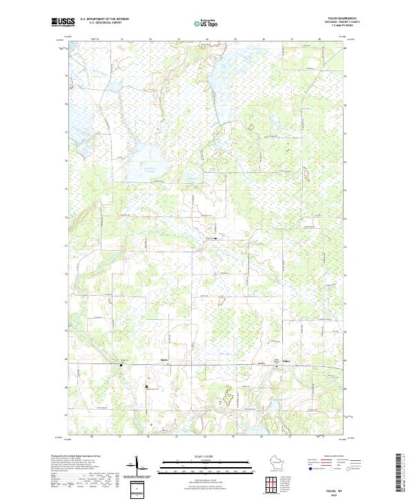
2022 Falun
Burnett County, WI
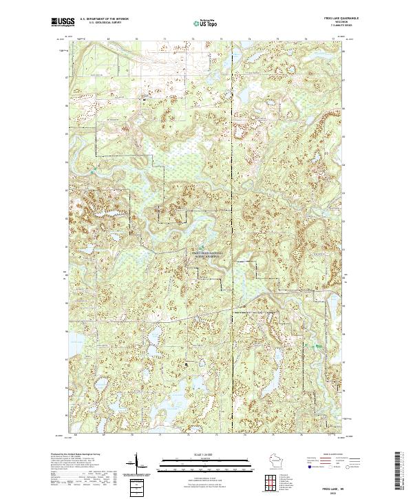
2022 Frog Lake
Burnett County, WI
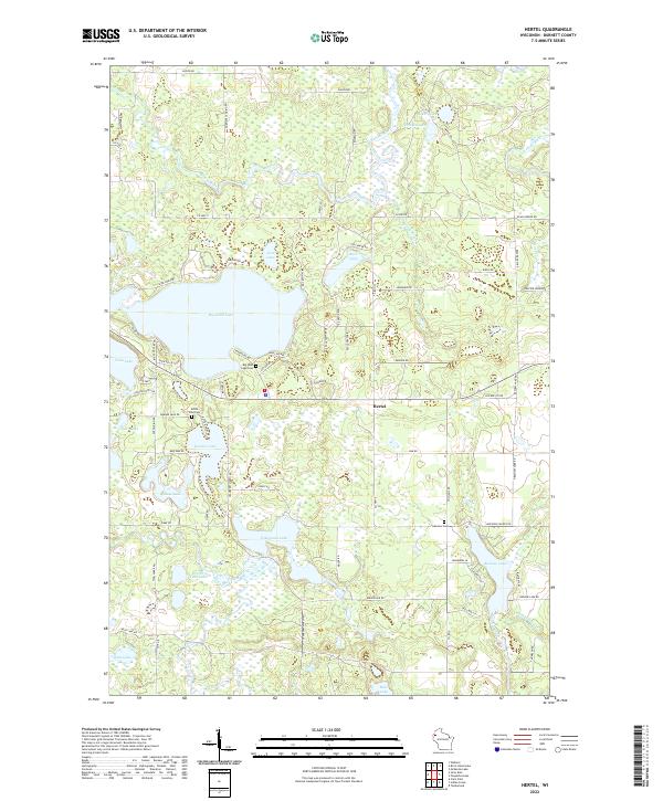
2022 Hertel
Burnett County, WI
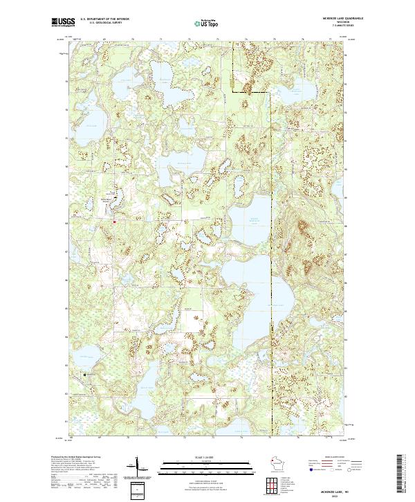
2022 McKenzie Lake
Burnett County, WI
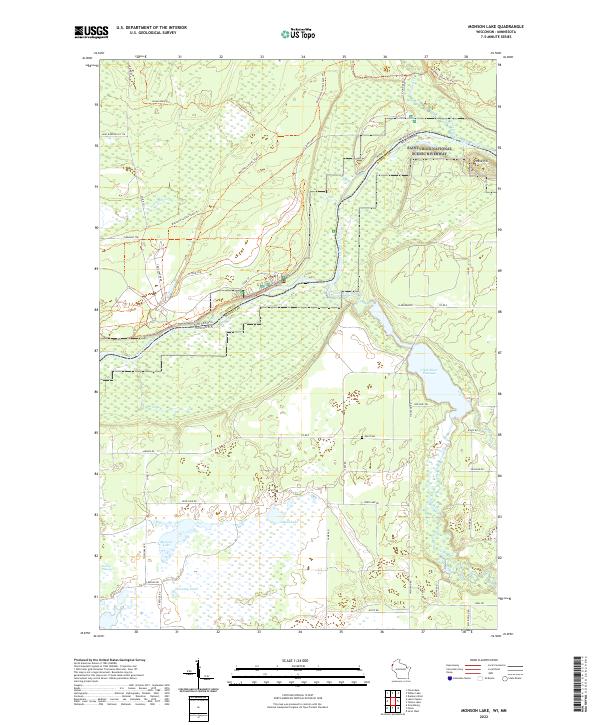
2022 Monson Lake
Burnett County, WI
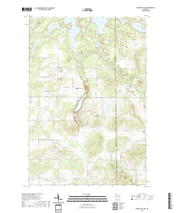
2022 Poquettes Lake
Burnett County, WI
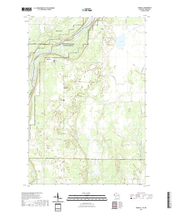
2022 Randall
Burnett County, WI
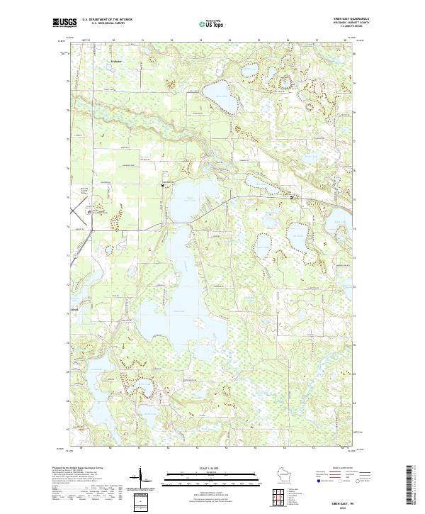
2022 Siren East
Burnett County, WI
2022 Siren West
Burnett County, WI
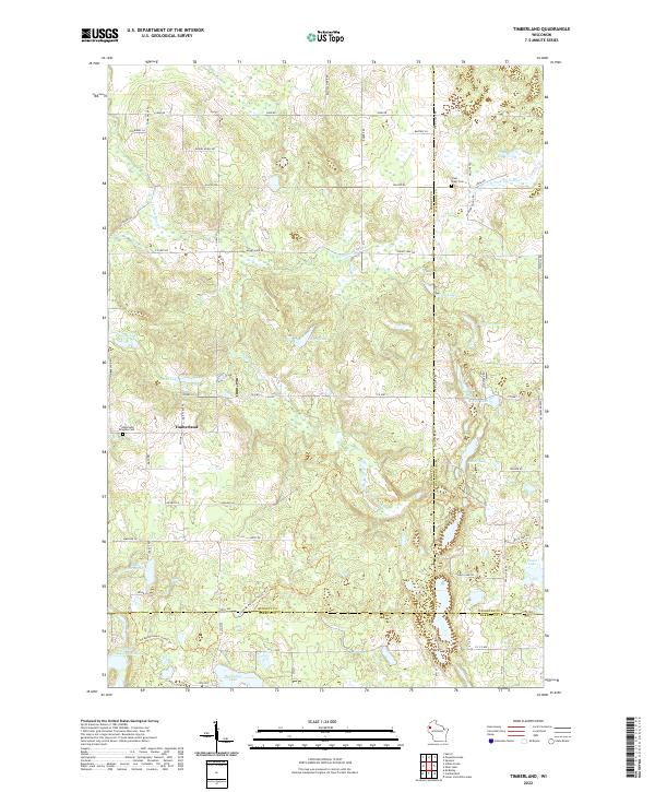
2022 Timberland
Burnett County, WI
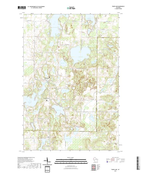
2022 Trade Lake
Burnett County, WI
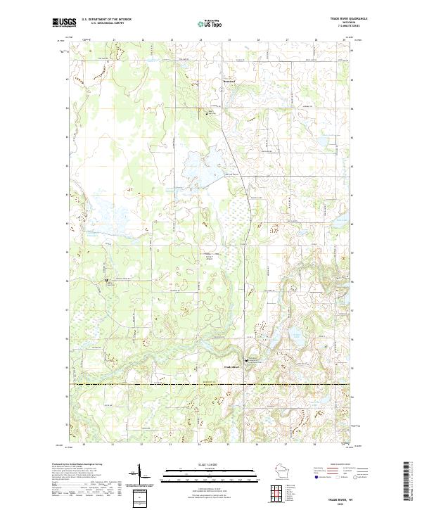
2022 Trade River
Burnett County, WI
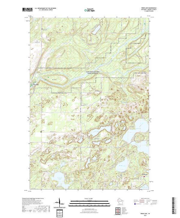
2022 Webb Lake
Burnett County, WI
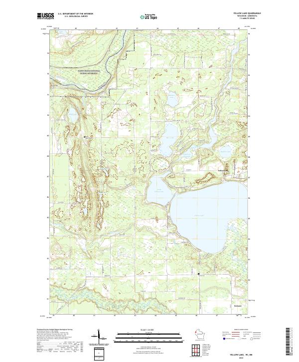
2022 Yellow Lake
Burnett County, WI